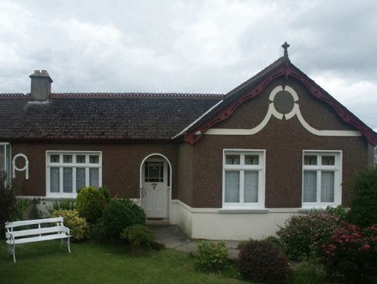
What is recorded here
Semi-detached four-bay single-storey house, built 1929-32, on an L-shaped plan with two-bay single-storey gabled projecting end bay. One of a pair forming part of a group of eight. Pitched red fibre-cement slate roof on an L-shaped plan with trefoil-perforated crested terracotta ridge tiles, rendered chimney stack having precast concrete capping supporting terracotta or yellow terracotta pots, quatrefoil-perforated decorative timber bargeboards to gable on timber purlins with terracotta finial to apex, and cast-iron rainwater goods on timber eaves boards on box eaves retaining cast-iron downpipes. Gritdashed roughcast walls on rendered stringcourse on rendered base. Round-headed off-central open internal porch with rendered surround. Square-headed door opening with timber mullions supporting timber transom, and concealed dressings framing glazed timber panelled door having sidelights on panelled risers below overlight. Square-headed window opening in quadripartite arrangement (north) with pair of square-headed window openings in bipartite arrangement (south), concrete sills, and concealed dressings framing timber casement windows. Set in landscaped grounds on a corner site with gritdashed roughcast piers to perimeter having precast concrete capping supporting iron gate.
A house erected as one of a pair of houses representing an important component of the early twentieth-century domestic built heritage of Wexford with the architectural value of the composition confirmed by such attributes as the angular plan form off-centred on a restrained doorcase; the multipartite openings showing restrained Art Deco stained glass; and the decorative timber work embellishing the roofline. Having been well maintained, the elementary form and massing survive intact together with substantial quantities of the original fabric, thus upholding the character or integrity of a house forming part of a self-contained ensemble (including 15502092) making a pleasing visual statement framing the centre point of Saint John's Road.
This does not grant access. Most recorded buildings are privately owned; view them only from public ground unless the owner allows entry.
Places near here
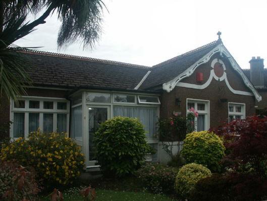 Avonreehouse · 27 yd
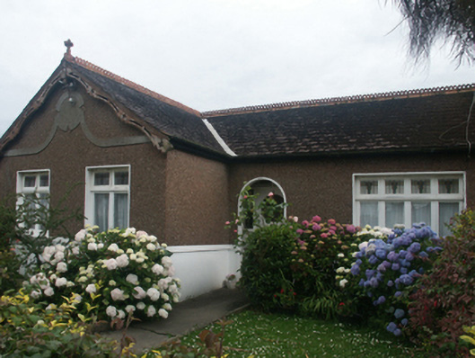 Alvernahouse · 38 yd
 St. Margarets WellHoly well · 154 yd
 Field boundary in Townparks (st. Peter's Par.) (part of )Field boundary · 302 yd
 Falla SeilscearMemorial · 423 yd
 Robert BrennanMemorial · 423 yd
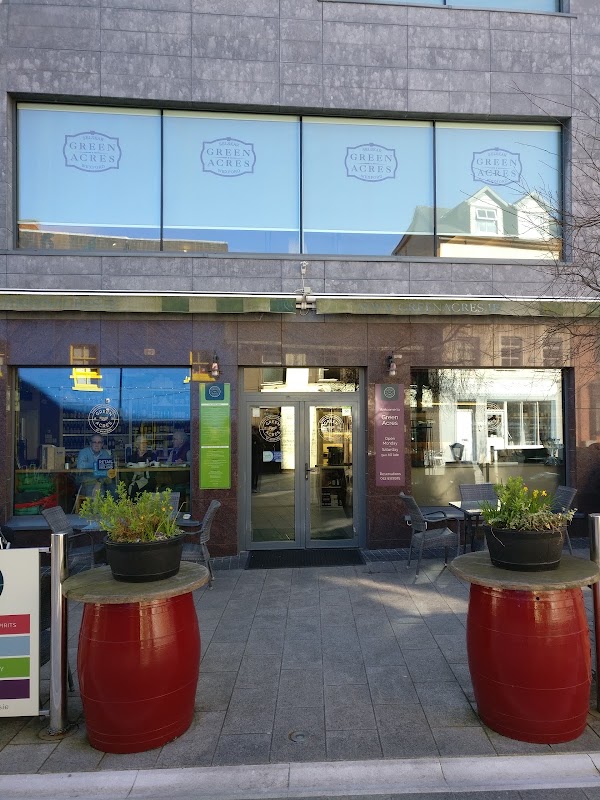 Green Acres Art GalleryGallery · 569 yd
 Three Sisters River CruisesHeritage attraction · 719 yd
 Siege of Wexfordsiege · 958 yd
 Sack of Wexfordsiege · 960 yd
 Castle (in ruinis)Castle, tower house · 1.8 mi
 Dawn RedwoodDawn Redwood · 2.0 mi
Other information
Photo: National Inventory of Architectural Heritage · Website use allowed for educational or private purposes with source credit