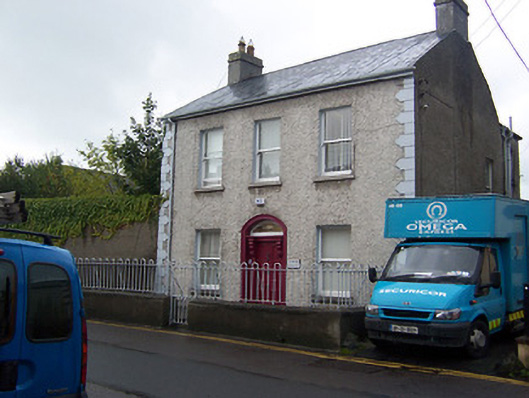
What is recorded here
Detached three-bay two-storey house, built c.1860. Now in use as offices. Pitched natural slate roof with cast-iron rainwater goods and rendered chimneystacks (having terracotta pots over) to either gable end. Pebbledash rendered walls over plinth course with raised alternating block and ‘belt-buckle’-style quoins to the corners. Square-headed window openings with one-over-one pane timber sliding sash windows. Central se segmental-headed architraved doorway having an early recessed timber panelled door, overlight and a timber doorcase, comprising timber pilasters with console brackets supporting a moulded timber cornice over. Set back from road with small enclosed garden to the north with a rendered boundary wall having looped wrought-iron railings over. Looped wrought-iron gate. Located on the south side of Bishop’s Gate Street.
A well-proportioned mid nineteenth-century house, which retains its early character, form and fabric. The front façade of this building is distinguished by the good quality doorcase and the retention of the timber sash windows. The ‘belt-buckle’-style quoins to the corners are a recurring motif in Mullingar, possibly indicating a local design trend. The simple looped wrought-iron railings help to add interest to the streetscape. This building makes a positive contribution to Bishop’s Gate Street, forming part of a varied collection of mid-to-late nineteenth-century houses along the south side of this street. This building is similar in form to 'Church View' to the west, suggesting that they built as part of a common building project.
This does not grant access. Most recorded buildings are privately owned; view them only from public ground unless the owner allows entry.
Places near here
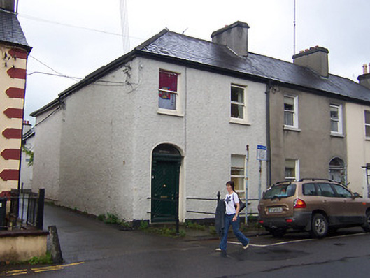 Ivy Villahouse · 25 yd
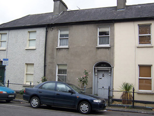 Rathdairehouse · 31 yd
 Joe DolanMemorial · 158 yd
 The Chimera GalleryGallery · 165 yd
 Courthouse in MullingarCourthouse · 167 yd
 Famine MemorialMemorial · 185 yd
 Mullingar Cathedral MuseumMuseum · 200 yd
 CastleCastle, unclassified · 215 yd
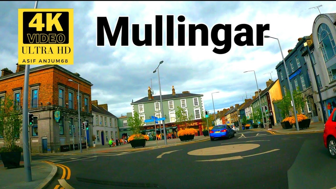 Town defences in MullingarTown defences · 253 yd
 Site of CastleCastle, unclassified · 271 yd
 Saint Brigid's WellSpring · 1.6 mi
 Lady's IslandWood · 2.6 mi
Other information
Photo: National Inventory of Architectural Heritage · Website use allowed for educational or private purposes with source credit