What is recorded here
Saint Cillan's Fort stands in County Down, Ireland, a buried anchor for stories the land has kept since before written memory. It is not a display cabinet or a dead name; it is a living edge where human hands, rain, time and witness still touch. Much of its detail has been lost, but the loss is not emptiness. It is an invitation to listen, remember and be answerable.
Saint Cillan's Fort is recorded as a archaeological place in County Down. Its open map record supplies this location and any linked names or public references.
Places near here
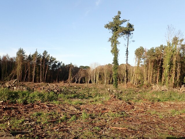 Tipperary WoodsForest · 431 yd
 Manor HouseHouse · 883 yd
 Newcastle Presbyterian ChurchChurch · 1162 yd
 Newcastle Heritage Trail - Old Railway StationVisitor information · 1229 yd
 Beach AvenueWalking route · 1309 yd
 CASTLE (destroyed) in Murlough UpperCASTLE (destroyed) · 1339 yd
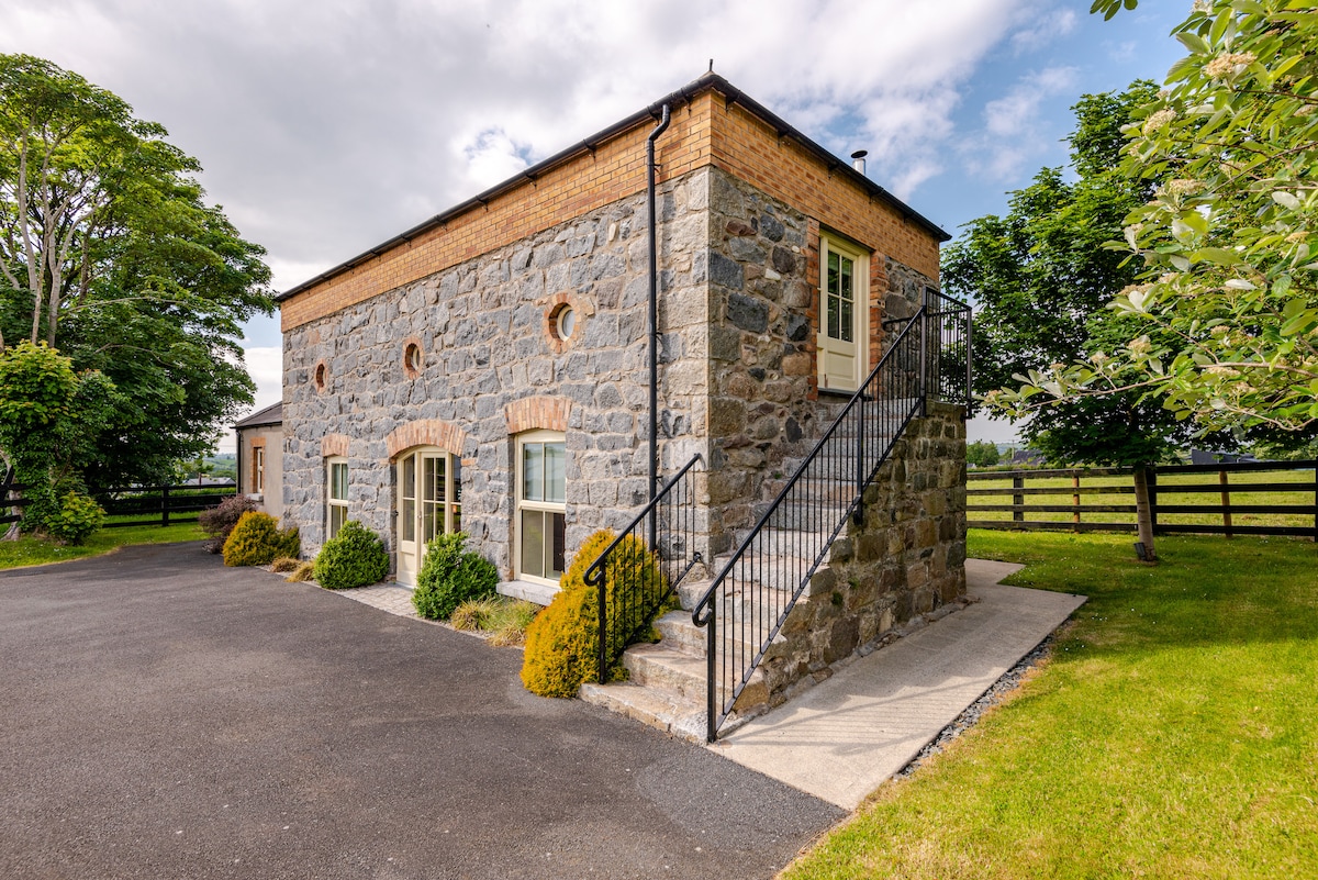 ENCLOSURE (destroyed) in CarnacavillENCLOSURE (destroyed) · 1340 yd
 CROSS-CARVED STONE in CarnacavillCROSS-CARVED STONE · 1347 yd
 Newcastle Tourist Information CentreVisitor information · 1415 yd
 Wild Forest LaneWalking route · 1606 yd
 Tollymore Forest Park EntranceNature reserve · 1665 yd
 DrinnahillyMountain / peak · 1.1 mi