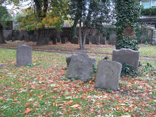
What is recorded here
Graveyard, established c.1550, adjoining Saint Catherine’s Church of Ireland church. Now in use as public park. Headstones dating from eighteenth and nineteenth centuries. Enclosed to east and west by snecked dressed calp limestone boundary walls, lined with red brick to interior to east, having render copings and some red brick buttresses to interior. Outer face of wall rendered to east elevation. Steel railing on render plinth wall to south elevation, matching gates to south-west. Square-profile dressed calp limestone piers.
Saint Catherine’s Church was built in the eighteenth century to designs by John Smyth, on the site of an earlier church that was built in the late twelfth century as a chapel of ease, part of Saint Thomas’ Abbey. This graveyard, which is marked on Rocque's Map, predates the current church. It was closed for burials in 1894 and turned into a public park in the 1980s. Many of the eighteenth- and nineteenth-century grave markers are simply but well executed in carved stone, and add artistic interest to the site. This graveyard attests to the long-standing religious presence in the locality, and is of part of the social history of the area.
This does not grant access. Most recorded buildings are privately owned; view them only from public ground unless the owner allows entry.
Places near here
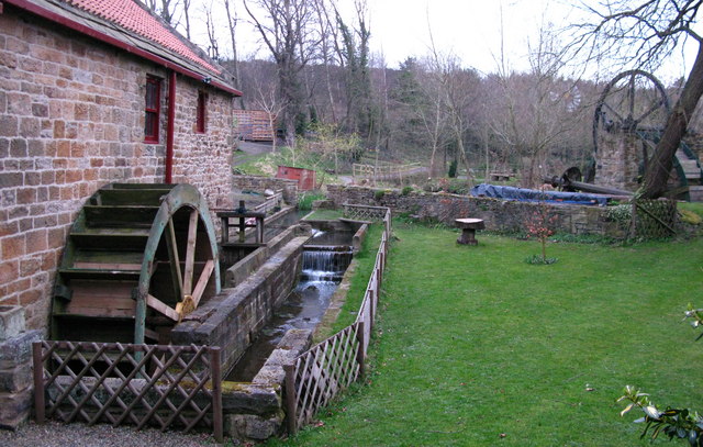 Water millWater mill, unclassified · 50 yd
 KilnKiln, tile · 52 yd
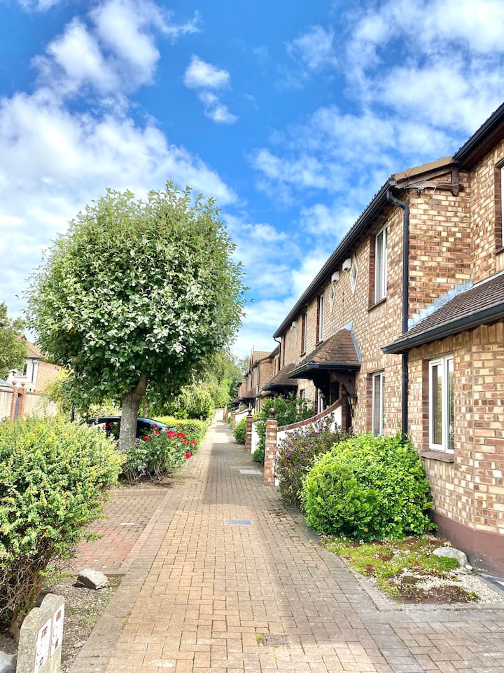 SteamBoxGallery · 151 yd
 Courthouse in Unknown TownlandCourthouse · 174 yd
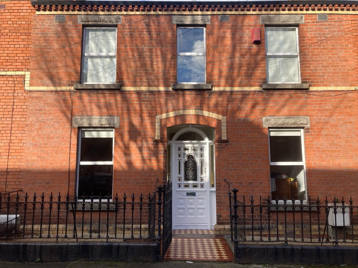 Habitation site in Unknown TownlandHabitation site · 181 yd
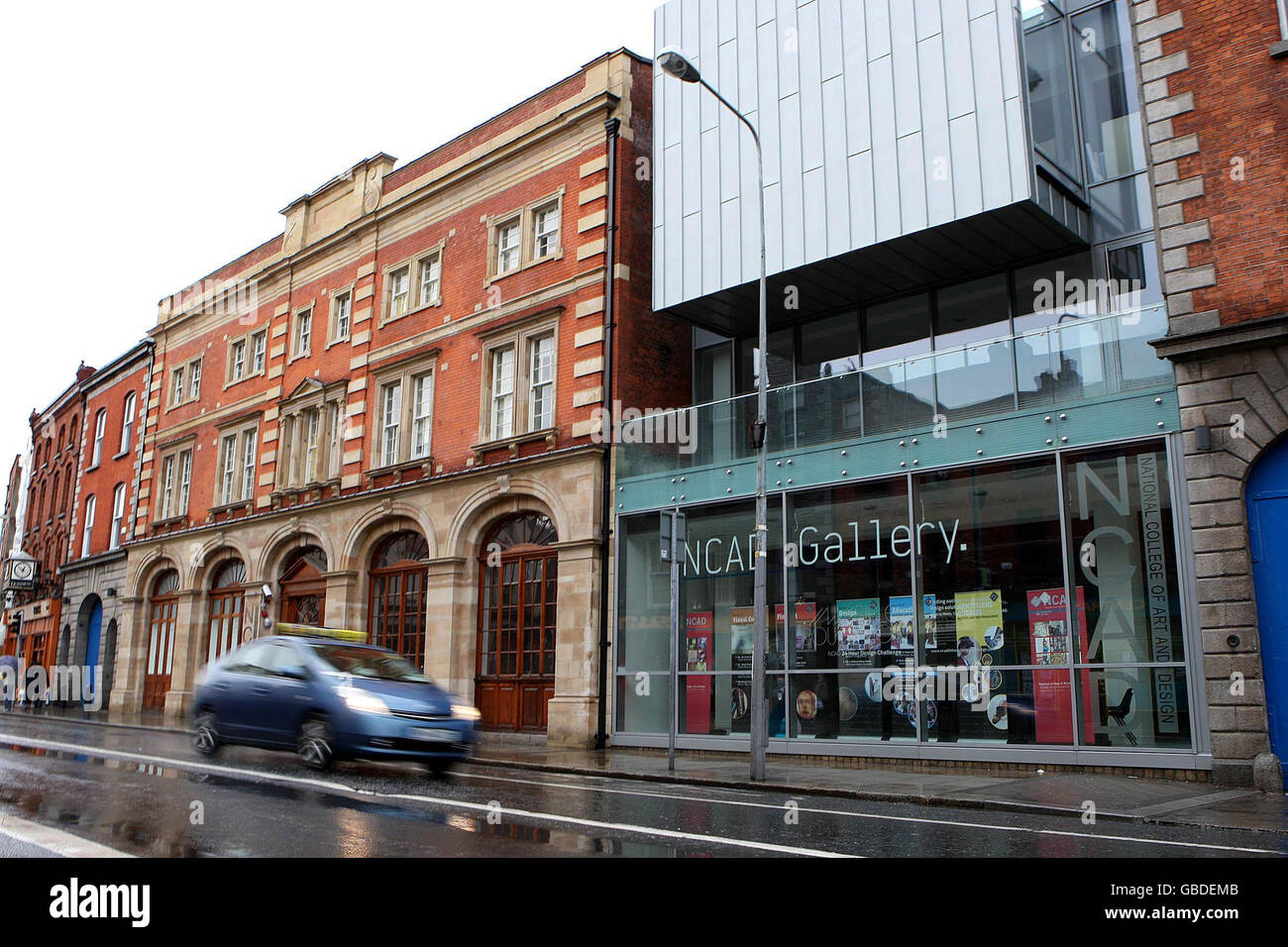 NCAD GalleryGallery · 194 yd
 European PearEuropean Pear · 254 yd
 Medieval DublinVisitor information · 446 yd
 Gairdín Súgartha i gCuimhne ar na Páistí a Cailleadh in 1916Memorial · 451 yd
 Graveyard in Unknown TownlandGraveyard · 608 yd
 CastleCastle, unclassified · 863 yd
 Bus Route InformationVisitor information · 1067 yd
Other information
Photo: National Inventory of Architectural Heritage · Website use allowed for educational or private purposes with source credit