What is recorded here
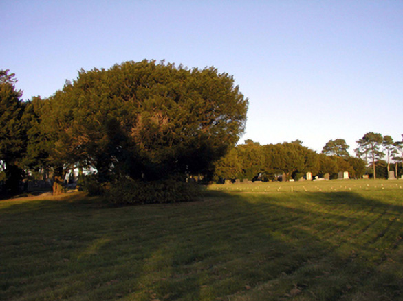
Cemetery with various cut-stone grave markers, c.1845 - present. (ii) Gateway, c.1895, to west comprising pair of painted rendered channelled and panelled piers with profiled capping, wrought iron double gates, sections of wrought iron curved (S-plan) flanking railings on painted rendered plinth with painted rendered channelled and panelled terminating piers having profiled capping, and sections of random rubble stone flanking boundary wall to perimeter of site with squared rubble stone coping.
A picturesque cemetery forming an appealing feature in the townscape in the south outskirts of Lismore, and incorporating various cut-stone markers of some artistic design merit. The gateway at the entrance to the grounds is a pleasing composition that contributes to the quality of the streetscape. The cemetery is of additional importance for its associations with the Great Famine (1845 - 1849), as related in a cast-iron plaque to the boundary wall.
This does not grant access. Most recorded buildings are privately owned; view them only from public ground unless the owner allows entry.
Places near here
 Lismore Fire Stationfire station · 196 yd
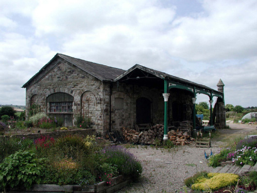 Lismore Railway Stationtrain shed · 236 yd
 Ambrose Power MemorialMemorial · 499 yd
 Mound in Ballysaggart Beg (east)Mound · 606 yd
 St. Carthaghs WellHoly well · 652 yd
 European YewEuropean Yew · 680 yd
 Lady Louisa's WalkWalking route · 804 yd
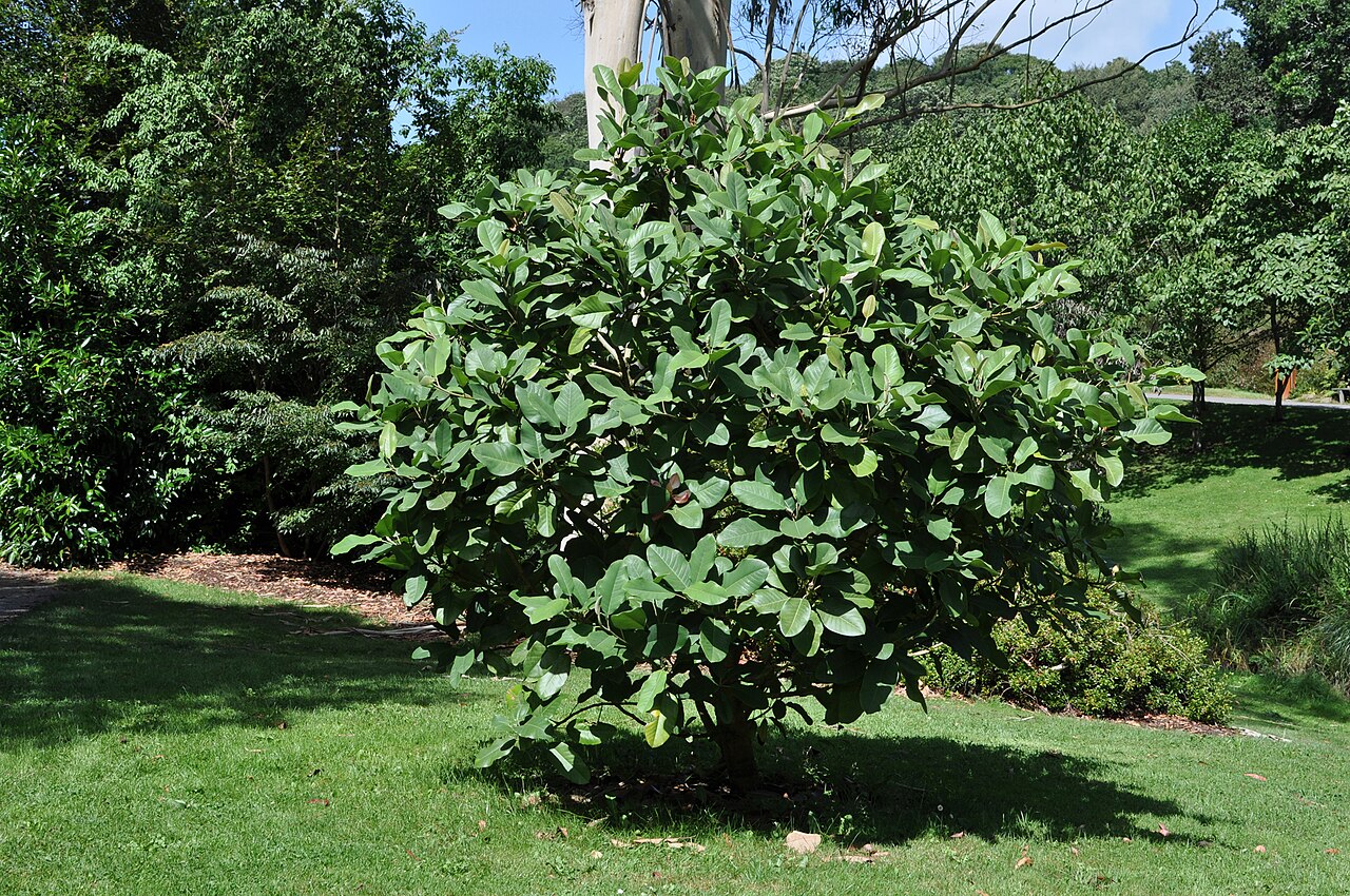 Delavay's magnoliaDelavay's magnolia · 854 yd
 LismoreMemorial · 893 yd
 Lismore Castlefarm house · 1097 yd
 Cottage IslandIslet · 1222 yd
 Ballysaggartmore TowersHeritage attraction · 2.1 mi
Other information
Photo: National Inventory of Architectural Heritage · Website use allowed for educational or private purposes with source credit