What is recorded here
On a rise in undulating pastureland. This circular rath (diam. 30m), in fair condition, is defined by three banks and two intervening fosses. The inner bank is visible from NE to E and from S to SW. The inner fosse survives all round. The middle bank is extant from NW through E to SW, while the middle fosse is visible from SW to N. The outer bank only survives sporadically from SW to N. There is an entrance gap (Wth 4.6m) at SW.
Compiled by: Galway Archaeological Survey, UCG
Date of upload: 5 January 2018
Rullagh Fort, Kilbride is a circular ringfort, likely dating to the early medieval period, characterized by three banks and two ditches, with partial survival of its inner bank and fosse. Local tradition may associate it with ancient Irish settlements or, as with many such sites, with fairy folklore, though specific legends are not recorded.
The monument record does not grant public access. Check the route and ask the landowner before entering private land.
- What survives
- Recorded monument
Places near here
 Ballyfintan FortFairy fort / earthen ringfort · 579 yd
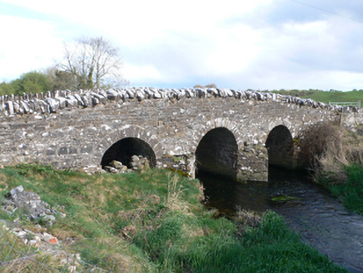 Castletown Bridgebridge · 843 yd
 Field system in Castletown (longford By.)Field system · 1090 yd
 CastleCastle, unclassified · 1124 yd
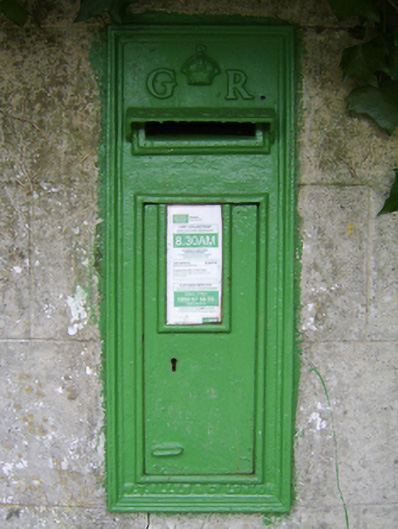 post boxpost box · 1.2 mi
 Streamstown Castle (in ruins)Castle, unclassified · 1.7 mi
 Quarryhill WoodWood · 3.7 mi
 Dartfield Horse MuseumHeritage attraction · 4.1 mi
 Bog WoodForest · 4.3 mi
 Battle of AughrimMajor battlefield · 8.3 mi
 The bloody HollowHeritage attraction · 8.3 mi
 Battle of Aughrim Interpretative CentreMuseum · 8.7 mi