
What is recorded here
Kilskeer Round Tower is the last standing corner of a lost castle, buried under ivy beside its church in County Meath. It faced the Earl of Fingal and Henry Plunkett, men powerful enough to claim hundreds of acres but unable to stop time from taking most of their wall. What remains is not a monument to pride but a bruise in the earth, marking the exact place where human ambition stopped resisting decay.
A castle at Kilskyre (53) in Kilskyre parish and Kells barony is marked as a tower on the Down Survey (1656-8) barony and parish maps adjacent to the church (http://downsurvey.tcd.ie/). According to the Civil Survey (1654-6) the Earl of Fingal and Henry Plunkett of Hartstown in Killallon parish owned 325 acres at Kilskyre, Villenaghtownme, Millstowne and Cullinstowne, which are all sub-denominations of Kilskyre, in 1640 (Simington 1940, 301). It is situated on a slight rise in a fairly level landscape within the ecclesiastical enclosure (ME016-043005-) and c. 30m SW of the parish church (ME016-044----). Only the ivy-covered NW corner of what was once probably a tower house survives to three storeys with no identifiable architectural features.
The above description is derived from the published 'Archaeological Inventory of County Meath' (Dublin: Stationery Office, 1987). In certain instances the entries have been revised and updated in the light of recent research.
Compiled by: Michael Moore
Date of revision: 27 February 2019
The monument record does not grant public access. Check the route and ask the landowner before entering private land.
- What survives
- Recorded monument
Places near here
 Ecclesiastical enclosure in KilskeerEcclesiastical enclosure · 28 yd
 IndicatedHoly well · 224 yd
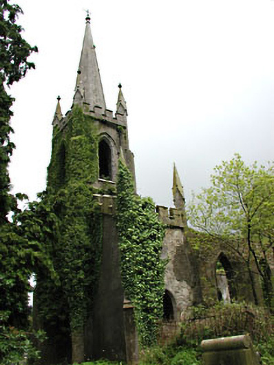 Saint Schiria's Church (Kilskeer)church/chapel · 1.8 mi
 Killua Castlegate lodge · 1.8 mi
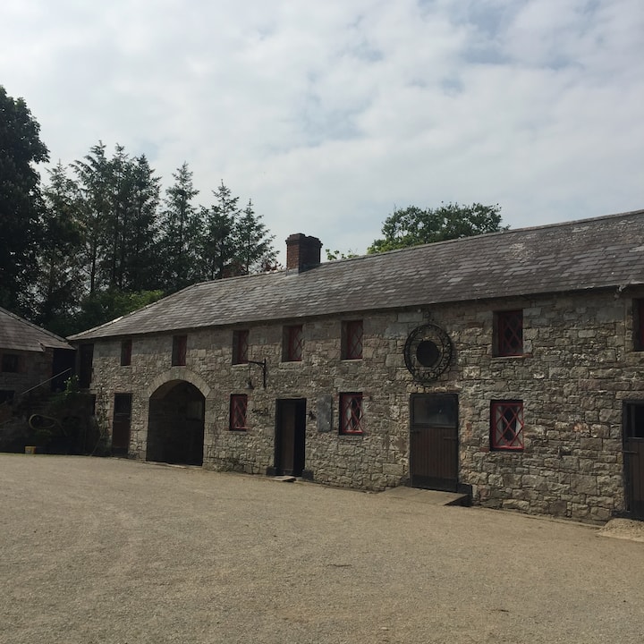 Casserly's WoodWood · 1.8 mi
 Bog WoodsForest · 1.9 mi
 CloncatMountain / peak · 2.1 mi
 Drewstown LittleMountain / peak · 2.6 mi
 BoglandMemorial · 3.1 mi
 Moat of DiamorCastle, motte and bailey · 3.6 mi
 Causey FarmHeritage attraction · 3.6 mi
 FarmaphobiaHeritage attraction · 3.6 mi
Other information
Photo: Credit not shown in the picture search · Rights wording not checked; contact us if this picture should be removed