What is recorded here
Situated on high ground with commanding views of the surrounding countryside. No surface remains visible of any round tower. OS Letters (O’Flanagan 1934, 311) record former presence of 'steeple' interpreted as round tower and association with St Molaise (holy well CW019-012----), and with St Laserian (CW019-014----). The OS Letters (O’Flanagan 1934, 311) of 1837-40 recorded that at ‘Lorum, there was, it is said, an old Church before the present Parish one (CW019-011001-), which is now falling to ruin, was erected. The spot where it stood is shown in a field, a few perches to the northeast corner of the Parish Church (CW019-011001-) and a few yards to southwest corner of a Church (C of I church) which is now in progress of being built. Tradition says there was a steeple (round tower) here (Tradition means here the local information of those who heard there was such a building here, but never saw it)’. The presence of a round tower at Lorum is very unlikely. According to Barrow (1979, 55) ‘there is no other evidence for it and it is unconvincing. It is possible that it was confused with Kellistown’.
Compiled by: Claire Breen
Revised by: Caimin O’Brien
Date of revised upload: 17 August 2015
The monument record does not grant public access. Check the route and ask the landowner before entering private land.
- What survives
- Recorded monument
Places near here
 Good Shepherd Church (Lorum)church/chapel · 272 yd
 Lorum Church (in ruins)Church · 337 yd
 CrossCross, High cross · 565 yd
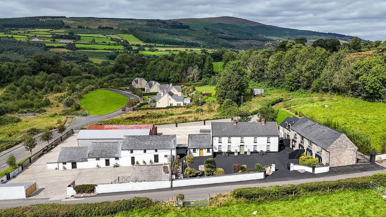 Enclosure in BallycormickEnclosure · 1238 yd
 Ballyloughan Castle (in ruins)Castle, Anglo-Norman masonry castle · 1.4 mi
 Site of CastleCastle, unclassified · 1.6 mi
 Wych ElmWych Elm · 2.2 mi
 Carrig WoodWood · 2.7 mi
 The Columban WayVisitor information · 3.1 mi
 Lock Keeper's House and Lodge MillsVisitor information · 3.3 mi
 Church (in ruins), GraveyardChurch · 3.5 mi
 SlievebawnMountain / peak · 5.1 mi