What is recorded here
Mullyknock still holds a round cairn where Bronze Age people placed their dead beneath stacked stones. The hill belongs to County Fermanagh, and the burial chamber has waited through centuries of rain, grass and forgotten footsteps. Someone climbed that slope long before written history to do what love and fear still drive humans to do: hide a body from the world and keep it close.
The official Northern Ireland record identifies this as ROUND CAIRN with BURIALS. Recorded period: PREHISTORIC; BRONZE AGE. Recorded protection: Scheduled. The official map point was placed at the centre of the recorded archaeological site from the source map reference.
Round cairn, Bronze Age. A scheduled monument indicating its archaeological importance, though specific details on its wider significance are limited.
The monument record does not grant public access. Check the route and ask the landowner before entering private land.
- What survives
- Recorded monument
Places near here
 Topped MountainMountain / peak · 5 yd
 STONE ENCLOSURE in Mullyknock OR Topped MountainSTONE ENCLOSURE · 524 yd
 OVAL ENCLOSURE in Mullyknock OR Topped MountainOVAL ENCLOSURE · 835 yd
 Cloghtogle MountainMountain / peak · 1228 yd
 Pubble ForestForest · 1.5 mi
 Holy Trinity ChurchChurch · 1.7 mi
 PENAL CHURCH in BallylucasPENAL CHURCH · 2.2 mi
 Coneyburrow WoodWood · 3.3 mi
 Castle CooleCountry House · 3.6 mi
 The Ice HouseHeritage attraction · 3.6 mi
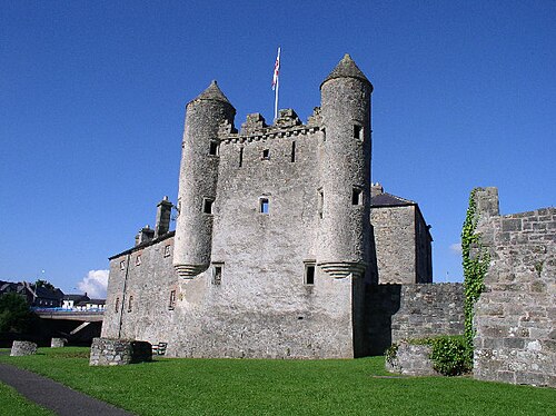 Siege of Enniskillensiege · 4.6 mi
 War MemorialMemorial · 4.6 mi