
What is recorded here
The official Northern Ireland record identifies this as a Grade A listed building. Current recorded use: Memorial.
The official record and map point do not grant access. Many historic buildings are privately owned; view them only from public ground unless the owner allows entry.
Places near here
 Ross MonumentMonument · 1 yd
 FORTIFICATION: TREVORS CASTLE (unlocated) in RosstrevorFORTIFICATION: TREVORS CASTLE (unlocated) · 226 yd
 Presbyterian ChurchChurch · 661 yd
 CHURCH in RosstrevorCHURCH · 764 yd
 The Fairy GlenWalking route · 1404 yd
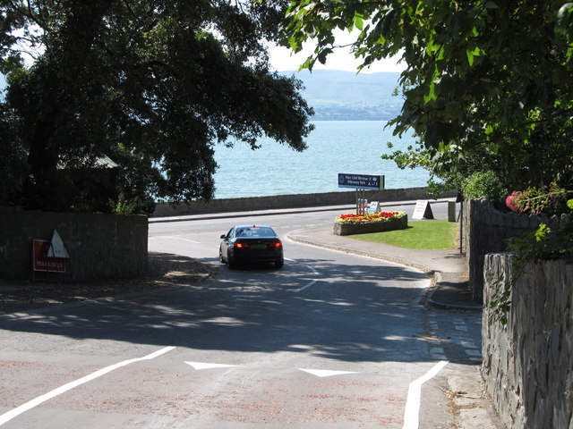 Kilbroney ParkVisitor information · 1423 yd
 Dobbin's PointHeadland · 1520 yd
 ENCLOSURE in BallymoneyENCLOSURE · 1.1 mi
 Ballymoney WoodForest · 1.2 mi
 CROSSES (2); MULTIPERIOD CHURCH; GRAVEYARDS; HOLY WELL: KILBRONEY or ST.BRIDGET'S WELL in KilbroneyCROSSES (2); MULTIPERIOD CHURCH; GRAVEYARDS; HOLY WELL: KILBRONEY or ST.BRIDGET'S WELL · 1.3 mi
 Carlingford Lough GreenwayWalking route · 1.8 mi
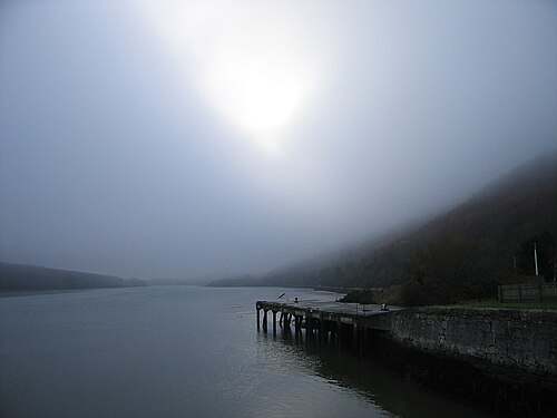 Carlingford LoughSea lough and mountain landscape · 1.8 mi
Other information
Photo: Eric Jones · CC BY-SA 2.0