
What is recorded here
Rosetown Rath is a steep oval scar cut into the Kildare riverbank, its nine-metre fosse dropping beside the Liffey like a hidden throat. Cattle still graze above the buried entry, while trees strangle the eastern edge where the ancient bank disappears. The fort does not ask to be seen; it waits for someone to stumble into its dark, sloping chamber and remember that the river took half its shape before people stopped fearing what lived below the water.
On the E edge of a very steep drop to the River Liffey which flows N c. 70m to the W. Heavily overgrown with trees, in pasture. An oval area (54m N-S; 42m E-W), constructed by scarping and modifying the river bank to form an inner and outer earthen bank with a deep intervening fosse SSE-W-N (max D. of fosse below inner bank 9m at W; 2m at S). The interior slopes gently from E to W. The monument is truncated on the E side where a modern field boundary runs N-S, and the original enclosing elements are not visible from N-E-SE.
Compiled by: Gearóid Conroy
Date of upload: 29 May 2012
Rosetown Rath is an early-medieval ringfort located on the eastern edge of a steep river bank overlooking the River Liffey. It is associated with local folklore of fairy hauntings, common to many such sites in Ireland.
The monument record does not grant public access. Check the route and ask the landowner before entering private land.
- What survives
- Recorded monument
Places near here
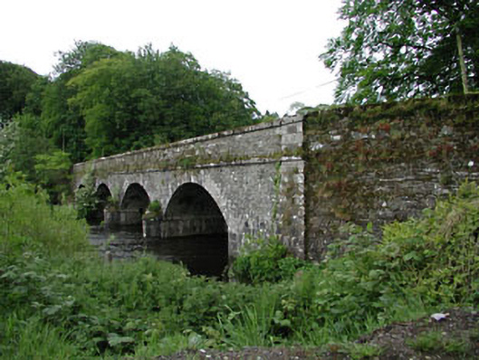 Athgarvan Bridgebridge · 154 yd
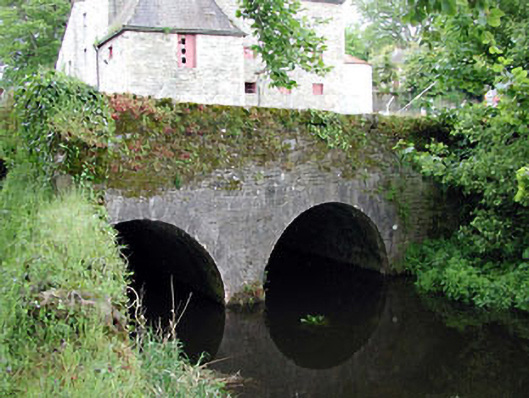 bridgebridge · 230 yd
 CastleCastle, unclassified · 892 yd
 IndicatedCastle, unclassified · 1550 yd
 Enclosure in KineaghEnclosure · 1621 yd
 Enclosure in GreatconnellEnclosure · 1.1 mi
 Newbridge SilverwareMuseum · 1.9 mi
 1798 memorial stoneMonument · 1.9 mi
 ElderElder · 2.1 mi
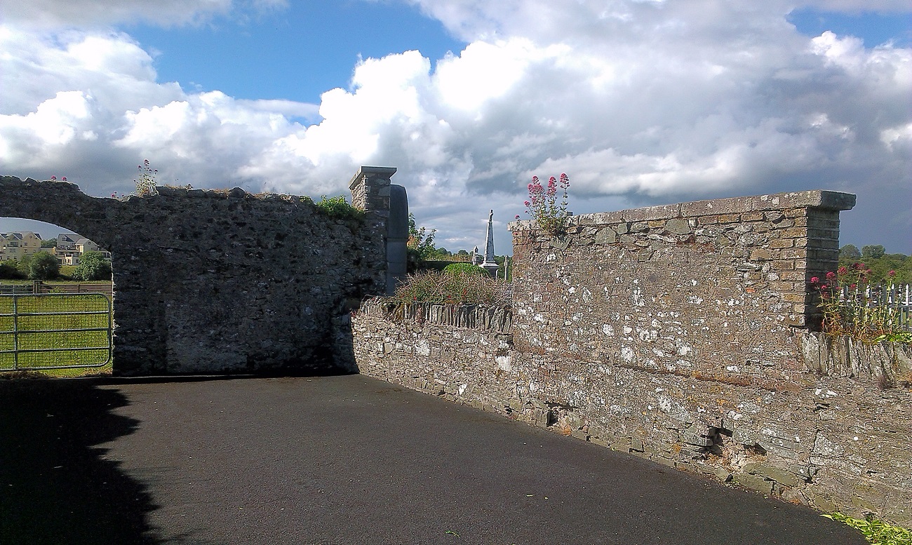 New Abbey WoodsWood · 2.5 mi
 Grand Canal WayVisitor information · 8.2 mi
 Councillor Jim MileyMemorial · 9.7 mi
Other information
Photo: Credit not shown in the picture search · Rights wording not checked; contact us if this picture should be removed