What is recorded here
In rough hill pasture, on the SE-facing slope of Cummeenbaun Mountain. A large upright slab (c. 8m x c. 5m x c. 1m) leans against a large roughly cuboid-shaped boulder (L c. 12m E-W; Wth c. 4m N-S; H c. 3m) forming a shelter that can be entered from either the E or W sides. The relatively smooth vertical N face of the boulder is inscribed with clusters of straight lines, which extend from 0.3 to 2.2m above ground level and cover an area 5.8m x 1.9m. Most of the inscribed lines (L 0.04-0.15m) are vertical and are frequently grouped by horizontal or diagonal lines scored across them. The inscriptions are too numerous to count and appear to have been created with V-shaped tools to depths of 1-4mm. This is known locally as 'Pluais na Scríob' (the cave of the inscribing). (Grant 1999, 18-21; Shee Twohig 2004, 224-5)
The above description is derived from the published 'Archaeological Inventory of County Kerry. Volume I: South-West Kerry' (Dublin: Stationery Office, 2009). In certain instances the entries have been revised and updated in the light of recent research.
Date of upload: 30 May 2011
The monument record does not grant public access. Check the route and ask the landowner before entering private land.
- What survives
- Recorded monument
Places near here
 DroppaCliff · 1049 yd
 Enclosure in GlantrasnaEnclosure · 1140 yd
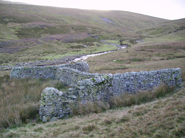 SheepfoldEnclosure · 1221 yd
 Ram's HillMountain / peak · 1.4 mi
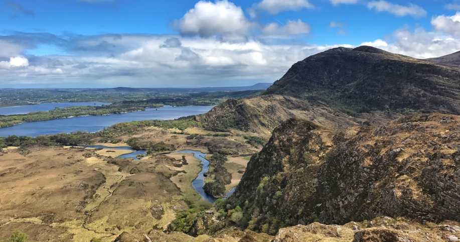 Eagles NestMountain / peak · 1.5 mi
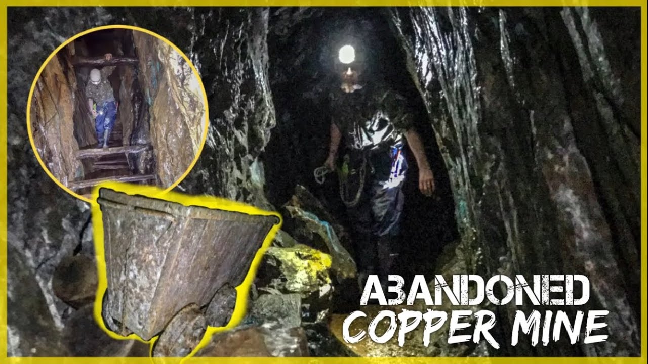 MineMine, copper · 2.5 mi
 Elistragh Br.Bridge · 2.8 mi
 Old Stone CottagesHeritage attraction · 3.1 mi
 Uragh Wood Nature ReserveNature reserve · 3.1 mi
 Gleninchaquin WaterfallWaterfall · 3.3 mi
 Uragh WoodForest · 3.4 mi
 Gleninchaquin ParkHeritage attraction · 3.5 mi