
What is recorded here
The official Northern Ireland record identifies this as a Grade B2 listed building. Recorded construction date: 1920 - 1939. Current recorded use: Public Baths.
The official record and map point do not grant access. Many historic buildings are privately owned; view them only from public ground unless the owner allows entry.
Places near here
 WWII PILLBOXWWII PILLBOX, DHP no.3 · 29 yd
 RiverVisitor information · 242 yd
 HISTORIC SETTLEMENT: NEWCASTLE in Murlough UpperHISTORIC SETTLEMENT: NEWCASTLE · 388 yd
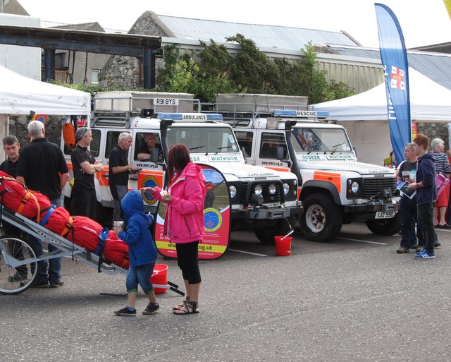 Donard Car ParkVisitor information · 405 yd
 Donard BridgeBridge · 497 yd
 Bath LaneWalking route · 497 yd
 CASTLE (destroyed) in Murlough UpperCASTLE (destroyed) · 760 yd
 Granite TrailWalking route · 899 yd
 Donard ForestForest · 1092 yd
 DrinnahillyMountain / peak · 1535 yd
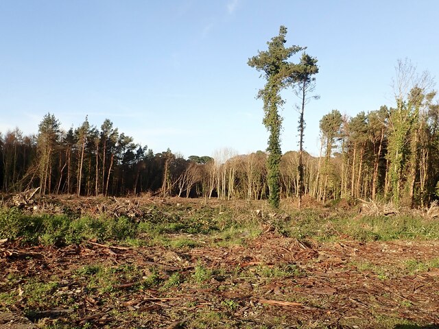 Tipperary WoodsForest · 1550 yd
 Black StairsWaterfall · 1.0 mi
Other information
Photo: Eric Jones · CC BY-SA 2.0