What is recorded here
Kilcarrig holds a granite boulder marked with a deep cup inside a ring, a simple shape that may have helped people read the sky or remember a life event. The stone stands off a hill crest where the Barrow and Castlecomer Ridge appear to the west while Mount Leinster rises to the east. It was probably moved during later land work, yet the mark remains clear enough to touch and imagine.
Situated just off the crest of a hill with good views to the W overlooking the Barrow and the Castlecomer Ridge and to the E towards Mount Leinster and the Blackstairs. A large granite boulder presently set on edge (L 1.8m; Wth 0.9m; T 0.44m), probably originally earthfast and most likely moved during modern land reclamation from a location some distance to the E and uphill of its present position. A vein of quartz runs across the length of the stone and forms a curve at one end of the stone. Set within the curve of the quartz vein is a large bowl-shaped cupmark (diam. 13cm; D 4cm), enclosed by a well-defined ring (Wth 5cm; D 1.5cm), forming a circle(max. diam. 31cm). Some 40cm from the outer circumference of the circle is a linear groove (L 38cm; Wth 5cm; D 0.5cm).
Compiled by: Claire Breen and Chris Corlett
Date of upload: 5 October 2011
Likely dating to the Neolithic or Bronze Age, this rock art may have held ritual or territorial significance, possibly aligned with landscape features visible from the site. Its placement suggests a connection to ancient pathways or ceremonial activity in the region.
The monument record does not grant public access. Check the route and ask the landowner before entering private land.
- What survives
- Recorded monument
Places near here
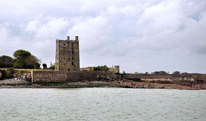 Enclosure in KilcarrigEnclosure · 268 yd
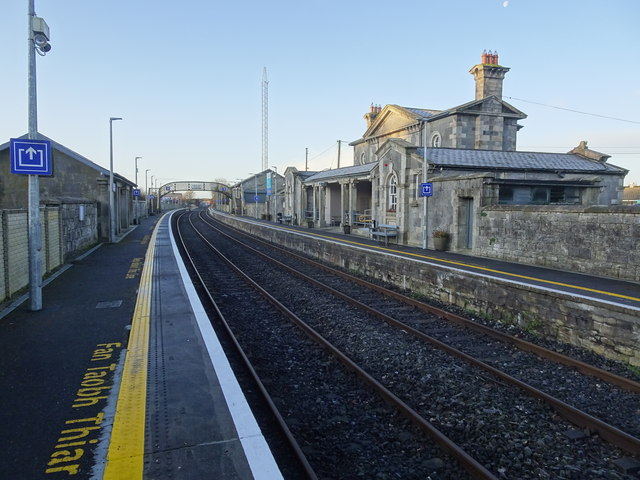 Bagenalstown Railway Stationfoot bridge · 757 yd
 Enclosure in KilreeEnclosure · 978 yd
 Wych ElmWych Elm · 1047 yd
 Saint Andrew's Catholic Churchchurch/chapel · 1171 yd
 The Columban WayVisitor information · 1296 yd
 Lock Keeper's House and Lodge MillsVisitor information · 1.1 mi
 Sweet ChestnutSweet Chestnut · 1.3 mi
 CastleCastle, motte · 1.3 mi
 Dunleckny Ho.Castle, unclassified · 1.4 mi
 Church (in ruins), GraveyardChurch · 1.9 mi
 Church, GraveyardChurch · 3.0 mi