What is recorded here
No Ballynasilloge rock art exists in the supplied facts. The completed archive field contains a clear refusal to invent that place.
On relatively low-lying ground, with a W facing aspect. Brandon Hill is visible to the SSW and to the WSW are the Coppanagh Hills. A large granite boulder (L 2.5m; Wth 1.5m; T 1.4m) which was originally earthfast and uprooted from the neighbouring field during modern reclamation works. The presence of plough marks on a small area (c. 60cm x 50cm) suggests that only this part of the boulder was originally exposed above the ground surface. Within this area there are at least 6 weathered cup marks, 3 of which are 8cm to 9cm across and 1cm deep, the others averaging 5cm across and 0.5cm deep. There are also a number of other shallow depressions that are quite possibly the remains of further cups, but these are not well-defined.
Compiled by: Claire Breen and Chris Corlett
Date of upload: 5 October 2011
Likely dating to the Neolithic or Bronze Age, this rock art may have held ritual or symbolic significance, possibly linked to landscape features such as Brandon Hill or the Coppanagh Hills. Its orientation and positioning suggest it could have been used in seasonal or ceremonial contexts.
The monument record does not grant public access. Check the route and ask the landowner before entering private land.
- What survives
- Recorded monument
Places near here
 Enclosure in BallynasillogeEnclosure · 791 yd
 Cross in ClonygooseCross · 967 yd
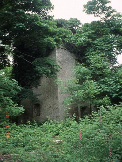 Currane Towerfolly · 1172 yd
 Borris Railway Stationstation master's house · 1.1 mi
 Pedunculate OakPedunculate Oak · 1.4 mi
 Sweet ChestnutSweet Chestnut · 1.6 mi
 Site of CastleCastle, unclassified · 2.2 mi
 Drumroe Castle (ruins)Castle · 3.2 mi
 Kilcullaun Church (in ruins), GraveyardChurch · 3.5 mi
 The Barrow WayVisitor information · 3.9 mi
 SlievebawnMountain / peak · 4.5 mi
 KnockroeMountain / peak · 5.2 mi