What is recorded here
Rock art in Tullydush Lower carries at least ten shallow cup marks and crossing lines on a south-facing outcrop beside several ancient hut sites. The valleys around it still hold fields, paths and human memory, while the exact meaning of the marks has faded. They may have marked a boundary, recorded a event or simply challenged the patience of the person who cut them.
Situated on S facing slope of rising ground in mountainous region within a field system (DG029-052) and several hut sites to the SE, S and E. A single hut site (DG029-056) is located 130m to the W, two hut sites (DG029-057001/002-) are located 57m to the SW, and two house sites (DG029-053/054) are 120m to the SE. Top of rock outcrop (dims. 0.66m x 2.55m) carved with at least 10 shallow oval and circular cup marks ranging in size from 4cm to 12cm. 8 lines can be seen criss-crossing the surface of the rock some of which are natural and others appear to be carved.
Likely dating to the Neolithic or Bronze Age, this rock art may have held ritual or territorial significance, possibly linked to the nearby hut sites. Its meaning remains unclear, but such art often reflected spiritual beliefs or social identity in prehistoric communities.
The monument record does not grant public access. Check the route and ask the landowner before entering private land.
- What survives
- Recorded monument
Places near here
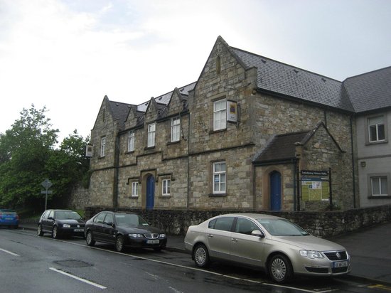 Tullydush Lower EnclosureEnclosure · 620 yd
 Former Tullydush Lower Fairy FortFairy fort / ringfort · 700 yd
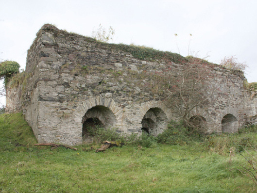 kilnkiln · 1.0 mi
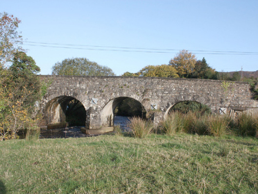 Druminderry Bridgebridge · 2.1 mi
 Scalp MountainMountain / peak · 2.5 mi
 Lady's Bay, BuncranaOfficial bathing water · 2.8 mi
 O'Doherty's KeepCastle · 3.0 mi
 Neds Point FortFort · 3.5 mi
 Cashel HillMountain / peak · 3.7 mi
 LisfannonOfficial bathing water · 3.9 mi
 Brown’s PointHeadland · 4.6 mi
 Lackan ForestForest · 4.9 mi