What is recorded here
Tullyarvan holds a displaced stone, large enough to span a room, said to carry hidden cupmarks beneath its base. The marks remain unproven because the stone left its ditch beside a nearby cashel, yet the claim insists someone once bent low to read what the ground concealed. That much is enough to imagine hands tracing shallow bowls in darkness, turning ordinary rock into a temporary record.
A stone, 3.4m × 0.55m × 0.35m, not now in its original position, is said to have cupmarks on the underside but this could not be verified. It was formerly situated in a ditch to the N of a nearby cashel (DG029-019001-) on high ground sloping to the SW.
The above description was derived from the 'Archaeological Survey of County Donegal. A description of the field antiquities of the County from the Mesolithic Period to the 17th century.' Compiled by: Brian Lacey with Eamon Cody, Claire Cotter, Judy Cuppage, Noel Dunne, Vincent Hurley, Celie O'Rahilly, Paul Walsh and Seán Ó Nualláin (Lifford: Donegal County Council, 1983). In certain instances the entries have been revised and updated.
Date of upload: 22 September 2008
The monument record does not grant public access. Check the route and ask the landowner before entering private land.
- What survives
- Recorded monument
Places near here
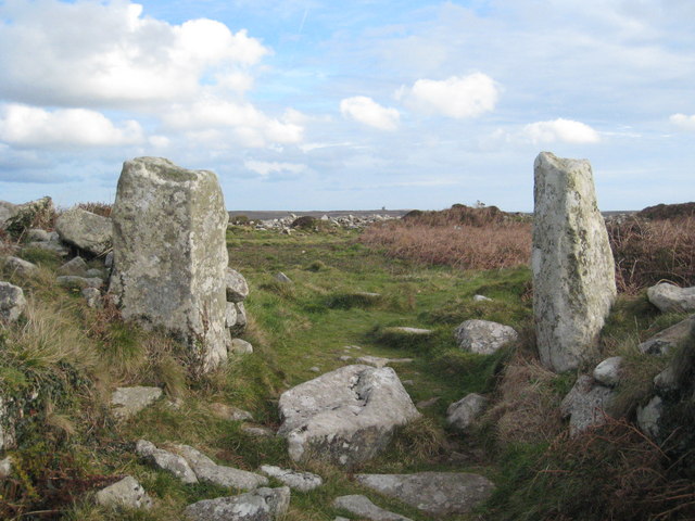 Tullyarvan Stone Ringfort and Man-made underground passageFairy fort / stone ringfort · 1 yd
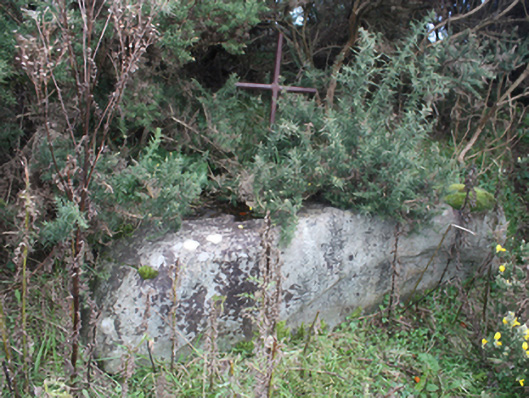 mass rockmass rock · 409 yd
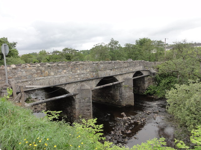 Cockhill Bridgebridge · 462 yd
 Ballymagan Fairy FortFairy fort / earthen ringfort · 958 yd
 O'Doherty's KeepCastle · 1.1 mi
 Neds Point FortFort · 1.3 mi
 Lady's Bay, BuncranaOfficial bathing water · 1.6 mi
 Stragill BeachBeach / strand · 1.6 mi
 Slieve MainMountain / peak · 4.4 mi
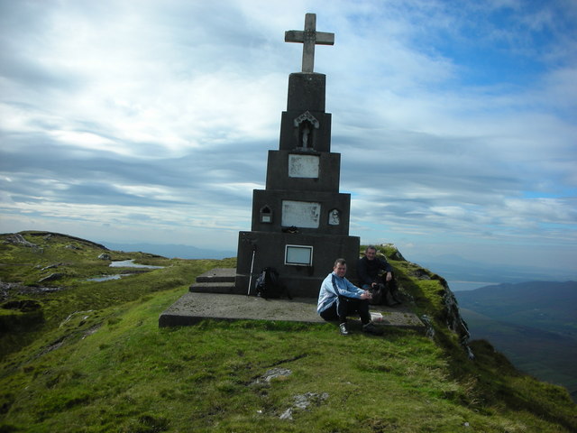 BulbinMountain / peak · 5.0 mi
 Brown’s PointHeadland · 5.0 mi
 Saldána GalleryGallery · 5.1 mi