
What is recorded here
Internal diam. 30m. A subcircular area enclosed by a 1.5m high bank of clay and small stones, most of which, except for the SE quadrant, has survived. There is possible evidence for a fosse on the SW quadrant. The situation on the N-S ridge gives the false impression of the area having been artificially raised. It overlooks excellent land and the Crana river to the W.
The above description was derived from the 'Archaeological Survey of County Donegal. A description of the field antiquities of the County from the Mesolithic Period to the 17th century.' Compiled by: Brian Lacey with Eamon Cody, Claire Cotter, Judy Cuppage, Noel Dunne, Vincent Hurley, Celie O'Rahilly, Paul Walsh and Seán Ó Nualláin (Lifford: Donegal County Council, 1983). In certain instances the entries have been revised and updated.
Date of upload: 22 September 2008
A local fairy fort (ringfort/rath); wider significance not recorded.
The monument record does not grant public access. Check the route and ask the landowner before entering private land.
- What survives
- Recorded monument
Places near here
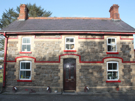 railway stationrailway station · 525 yd
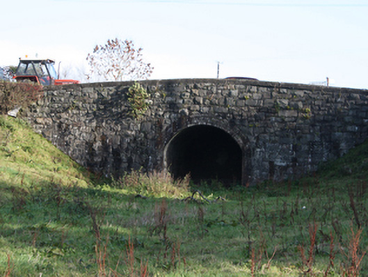 bridgebridge · 545 yd
 Ballymagan Rocky EnclosureEnclosure · 765 yd
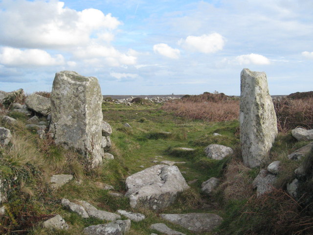 Tullyarvan Stone Ringfort and Man-made underground passageFairy fort / stone ringfort · 958 yd
 O'Doherty's KeepCastle · 1.5 mi
 Neds Point FortFort · 1.8 mi
 Lady's Bay, BuncranaOfficial bathing water · 2.0 mi
 Stragill BeachBeach / strand · 2.1 mi
 Slieve MainMountain / peak · 3.9 mi
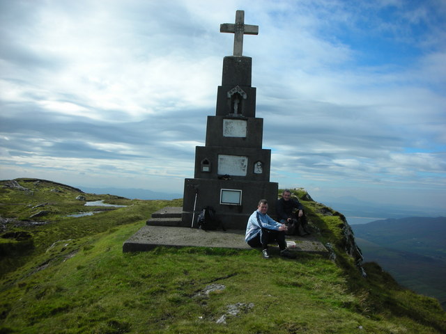 BulbinMountain / peak · 4.8 mi
 Brown’s PointHeadland · 5.4 mi
 Saldána GalleryGallery · 5.5 mi
Other information
Photo: Credit not shown in the picture search · Rights wording not checked; contact us if this picture should be removed