What is recorded here
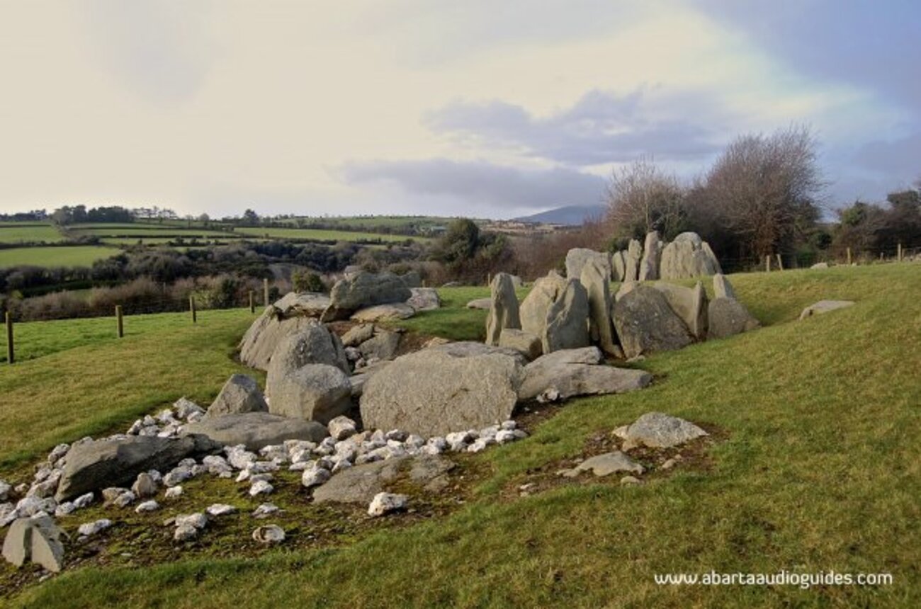
Identified as rock art in 2016, this large sandstone block in County Kerry presents six faint cupmarks and grooves on its western face. The marks sit on two distinct platforms above a grassy slope that overlooks the Owroe and Inny river valleys. Some features may be natural solution marks or weathering, yet the deliberate arrangement suggests human hands shaped the stone during a forgotten time. The nearby trackway and stream imply the place remained useful long after the markings faded.
In improved pasture (135m OD), on a SE-facing slope, in southern foothills of Coomacarrea Mountain. Good views overlooking the Owroe and Inny river valleys. A trackway is c. 3m to NW and a stream is c. 8m to NE. A smooth and fractured sandstone (dims. 4.10m E-W; 3.80m N-S; max. H 2.00m at E) which is subrectangular in plan. The E side of this stone is very steep and bears no motifs. The W side is more gradual as it slopes down to ground level and is largely covered in grass; Three field clearance stones upon top. The decorated surface (dims. 0.10m N-S; 0.10m E-W) is W-facing and bears six decorative elements which are very weathered. The W side of this stone has two distinct areas: a lower portion to N and a higher (H 0.19m) to S. Three cupmarks (diam. 6-8cm; D 5-10mm) are located upon lower platform; The smaller of these cupmarks (diam. 6cm; D 5mm) has a natural hollow on N side. Two parallel, linear grooves (L 6cm and 12cm; Wth 2cm; D 12mm) are located between these and may be naturally formed. Two deep, hollow depressions (diam. 10-12cm; D 3cm) appear to be solution marks. A cupmark (diam. 7cm; D 8mm) and an L-shaped linear groove (L 9cm N-S; L 7cm E-W; Wth 2cm; D 6mm) are located upon the higher platform. An isolated cupmark (diam. 7cm; D 20mm) on a lower, flat step at S side of stone, may have been deepened by weathering. Initially identified as rock art by A. Lambe (2016).
Compiled by: Alison McQueen and Vera Rahilly
Date of upload: 18 July 2017
The monument record does not grant public access. Check the route and ask the landowner before entering private land.
- What survives
- Recorded monument
Places near here
 Cloghaunleaghaniska Fort (Site of)Fairy fort / earthen ringfort · 1.4 mi
 Man-made underground passage in Knockroe (iveragh By.)Man-made underground passage · 1.4 mi
 Com an CharriaMountain / peak · 1.6 mi
 CaunogeMountain / peak · 1.8 mi
 Church in CaherlehillanChurch · 3.3 mi
 Short Castle (Site of)Castle, unclassified · 5.0 mi
 Killinane Church (in ruins)Church · 5.0 mi
 Soft Tree-fernSoft Tree-fern · 5.8 mi
 Chilean wine palmChilean wine palm · 5.8 mi
 Sheep Dog TrainingHeritage attraction · 5.9 mi
 Kells BeachBeach / strand · 6.0 mi
 FeaklecallyHeadland · 6.1 mi