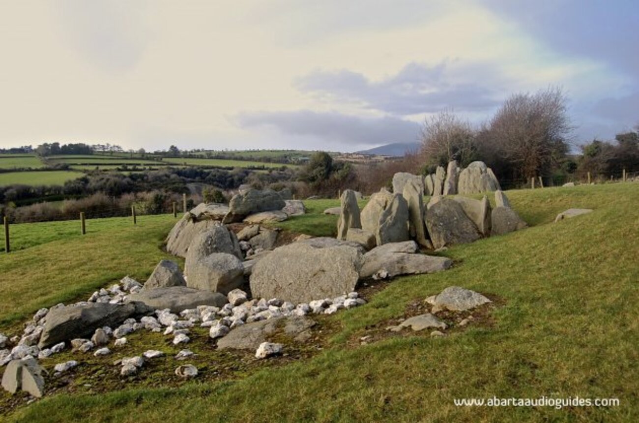
What is recorded here
In rough grazing, on a S-facing slope overlooking the valley of the River Inny. A S-facing entrance (Wth 1m; H 0.7m) leads to a chamber roofed with stone lintels resting on drystone walls. The chamber extends 2.2m to the N, from where it turns to the NE and extends in that direction for c. 3m. It was inaccessible beyond that point but was observed to continue in a northerly direction.
The above description is derived from the published 'Archaeological Inventory of County Kerry. Volume I: South-West Kerry' (Dublin: Stationery Office, 2009). In certain instances the entries have been revised and updated in the light of recent research.
Date of upload: 30 May 2011
The monument record does not grant public access. Check the route and ask the landowner before entering private land.
- What survives
- Recorded monument
Places near here
 LissowroeFairy fort / earthen ringfort · 1034 yd
 CaherbaunFairy fort / stone ringfort · 1491 yd
 CaunogeMountain / peak · 1.9 mi
 Com an CharriaMountain / peak · 2.9 mi
 Church in CaherlehillanChurch · 4.1 mi
 Short Castle (Site of)Castle, unclassified · 4.7 mi
 Killinane Church (in ruins)Church · 4.7 mi
 Soft Tree-fernSoft Tree-fern · 6.7 mi
 Chilean wine palmChilean wine palm · 6.8 mi
 Kells BeachBeach / strand · 7.0 mi
 Sheep Dog TrainingHeritage attraction · 7.0 mi
 FeaklecallyHeadland · 7.3 mi
Other information
Photo: Credit not shown in the picture search · Rights wording not checked; contact us if this picture should be removed