What is recorded here
Situated on a gentle SE-facing slope in a small field south of Threewells crossroads. Small boulder (dims. 0.9m x 0.8m) with rows of small holes (diam. 0.02m) possibly punch-struck. Six rows with a total of forty-three marks are preserved; part of the rock surface has been removed. (Price 1946, 72; Corlett 2013, 13)
Attached image taken from Archaeology Ireland article by Chris Corlett.
See attached screenshot of 3D model of rock art created by Wicklow Rock Art Project, School of Archaeology, University College Dublin under the direction of Dr. Clíodhna Ní Lionáin. Photogrammetric 3D rock art model can be accessed at the following website: https://skfb.ly/DNn9
The above description is derived from the published 'Archaeological Inventory of County Wicklow' (Dublin: Stationery Office, 1997). In certain instances the entries have been revised and updated in the light of recent research.
Date of upload/revision: 17 December 2008
Likely dating to the Neolithic or Bronze Age, the rock art may represent ritual or symbolic markings, possibly linked to territorial boundaries or ceremonial practices. The precise meaning remains unclear, but such patterns are often associated with early farming communities or spiritual traditions.
This remains an important historical record, but the official description says the monument is no longer visible or has been destroyed. The monument record does not grant public access. Check the route and ask the landowner before entering private land.
- What survives
- No visible remains or recorded as destroyed
Places near here
 Holy well in ThreewellsHoly well · 53 yd
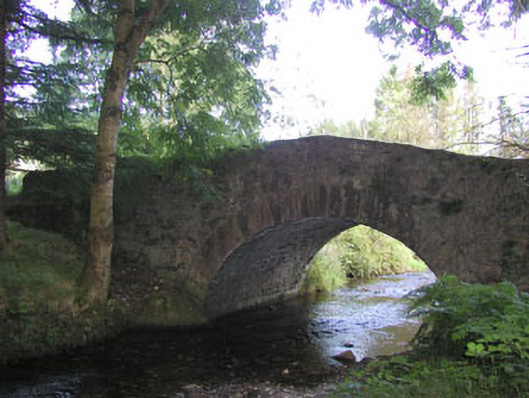 Macreddin Bridgebridge · 1.0 mi
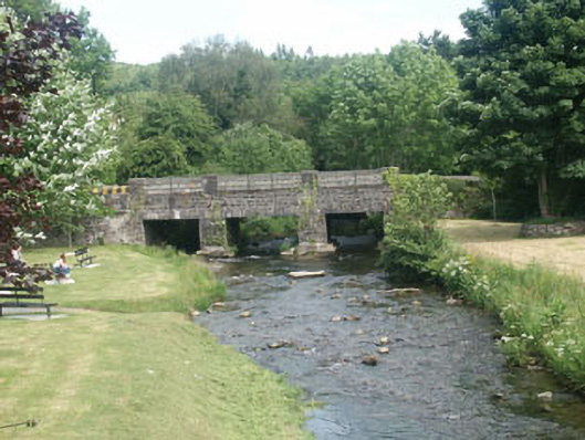 Tinnakilly Bridgebridge · 1.1 mi
 (Site of) CastleCastle, unclassified · 1.2 mi
 Cross in Macreddin WestCross · 1.3 mi
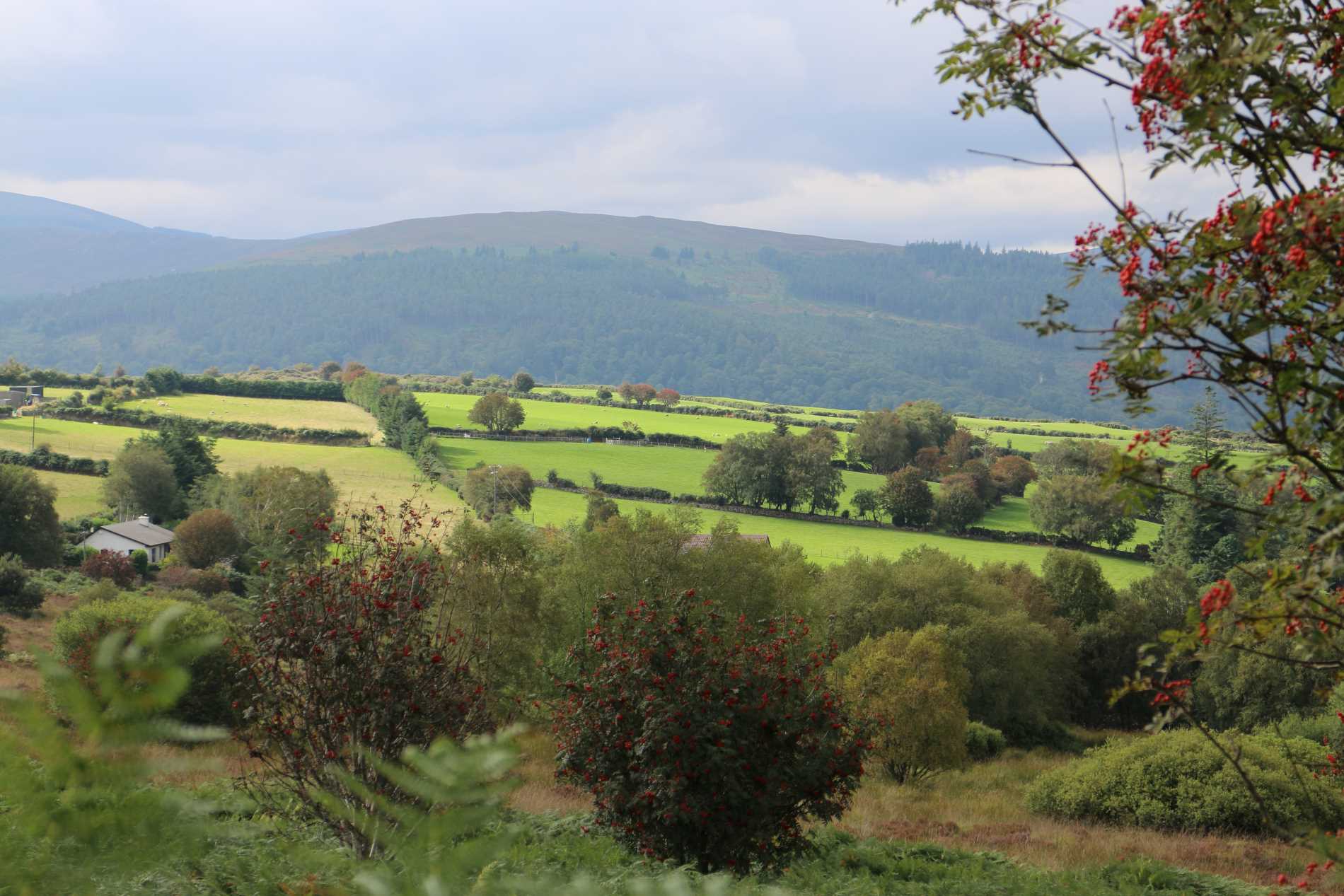 Roddenagh WoodForest · 2.5 mi
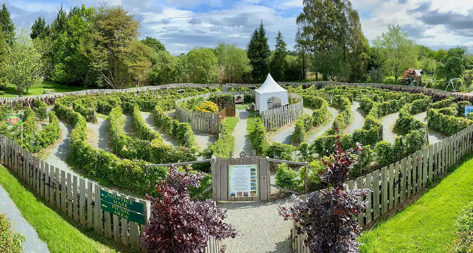 Greenan Farm Museum & MazeMuseum · 3.0 mi
 CastleCastle, motte · 3.1 mi
 Meeting of the WatersHeritage attraction · 3.3 mi
 Ballinacor MountainMountain / peak · 3.5 mi
 Ballinagappoge MountainMountain / peak · 3.9 mi
 Woodenbridge World War One MemorialMemorial · 4.2 mi