What is recorded here
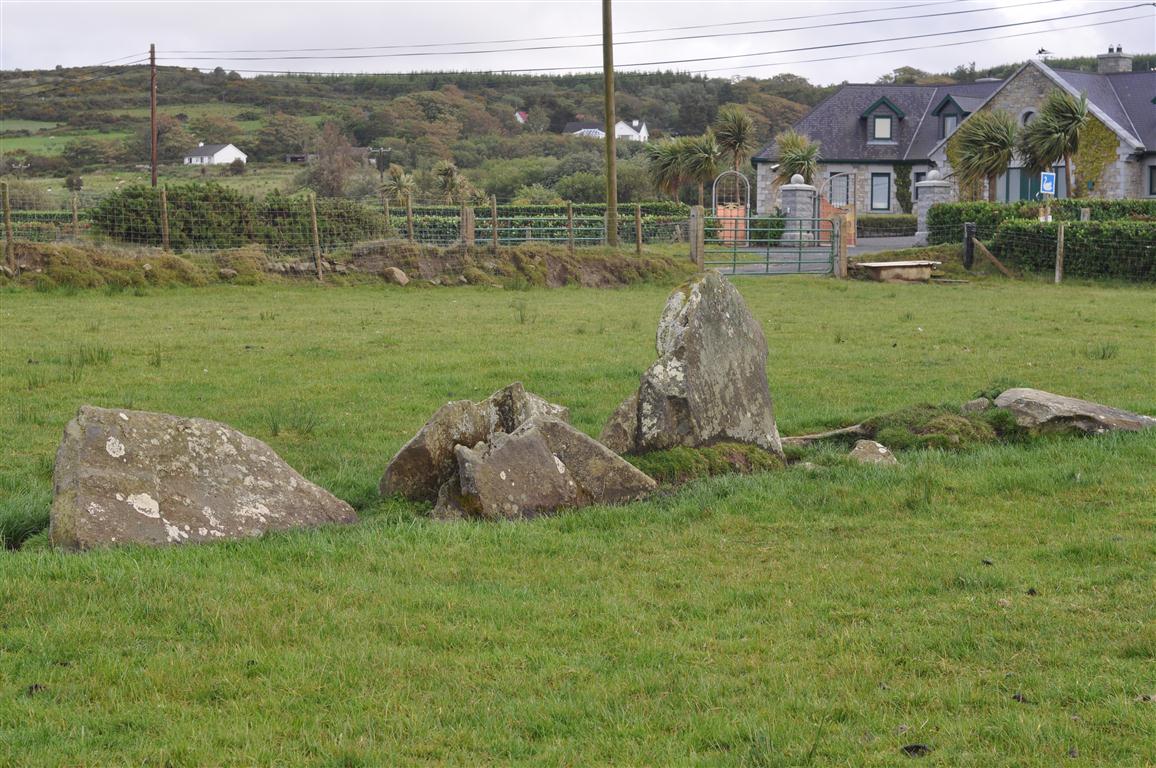
Two partially buried stones lie on pasture north of Crockagalcassagh, one or both perhaps standing once before soil and time leaned them into the earth. The southwest stone carries two cup-marks six centimetres wide, small hollows cut with patience rather than haste. They sit in open Donegal grass, quiet now but not empty, marked on old surveys as standing stones and still readable as a place where someone stopped long enough to shape stone.
Marked on the 2nd edition of the OS 6-inch map as 'Standing Stones' (DG011-005001-) (2 shown) and on the 3rd edition as 'Standing Stone'. To the W and SW are two partially buried stones, one or both of which may once have been standing. The SW stone has two cup-marks, 6cms in diameter, on it (M. R. Colhoun). Situated on pasture land on the N side of Crockagalcassagh.
The above description was published in the 'Archaeological Survey of County Donegal. A description of the field antiquities of the County from the Mesolithic Period to the 17th century.' Compiled by: Brian Lacey with Eamon Cody, Claire Cotter, Judy Cuppage, Noel Dunne, Vincent Hurley, Celie O'Rahilly, Paul Walsh and Seán Ó Nualláin (Lifford: Donegal County Council, 1983).
Likely dating to the Late Neolithic or Early Bronze Age, the standing stones at Rashenny may have been used for ritual or territorial marking. Local folklore sometimes associates such stones with ancient giants or protective boundary markers.
The monument record does not grant public access. Check the route and ask the landowner before entering private land.
- What survives
- Recorded monument
Places near here
 Rashenny Burial near the Standing StoneBurial · 907 yd
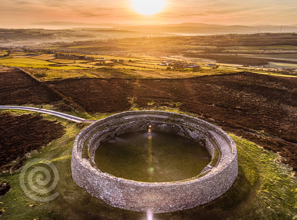 Former Altashane / Cabadooey Fairy FortFairy fort / ringfort · 1303 yd
 railway stationrailway station · 1529 yd
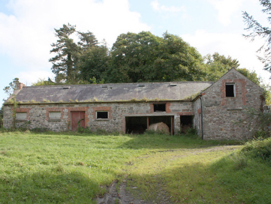 Donagh Church of Ireland Rectoryoutbuilding · 1.9 mi
 Dough Famine VillageHeritage attraction · 2.5 mi
 Doagh Famine VillageMuseum · 2.5 mi
 CastleCastle, unclassified · 2.7 mi
 Carndonagh Early Church GraveyardGraveyard · 3.0 mi
 Five Finger StrandBeach / strand · 3.2 mi
 Bawn in CarrickabraghyBawn · 3.3 mi
 Lag GraveyardGraveyard · 3.4 mi
 Glenevin Waterfall WalkOfficial walking route · 3.9 mi