What is recorded here
On W facing slope of a high ridge, with excellent views. A large granite boulder (L 2.25m; Wth >1.5m (partially buried); T 0.9m) positioned alongside a field fence. It is likely that most of the broad surface (presently upright and facing W), if not all was the exposed upper surface of a flat boulder. This surface is quite irregular with natural undulations and hollows. Concentrated at the opposite corners are 6 cup marks.
Compiled by: Claire Breen and Chris Corlett
Date of upload: 12 September 2013
The monument record does not grant public access. Check the route and ask the landowner before entering private land.
- What survives
- Recorded monument
Places near here
 Enclosure in Crone MoreEnclosure · 1184 yd
 Kilcashel ChurchRuins · 1272 yd
 Kilcashel Church (in Ruins)Church · 1283 yd
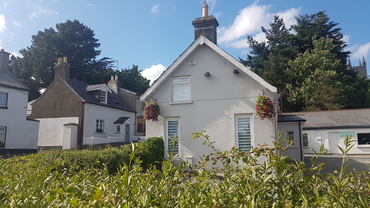 Enclosure in KilcashelEnclosure · 1343 yd
 Meeting of the WatersHeritage attraction · 1.7 mi
 Site of CastleCastle, unclassified · 1.7 mi
 Sweet ChestnutSweet Chestnut · 2.2 mi
 Woodenbridge World War One MemorialMemorial · 2.4 mi
 Scots PineScots Pine · 2.4 mi
 (Site of) CastleCastle, unclassified · 3.4 mi
 Viewing TowerHeritage attraction · 3.5 mi
 Wicklow 400Memorial · 4.6 mi