What is recorded here
Kilgowan rock art emerged in 1984 from road-widening spoil in County Kildare, its lower part already broken away. The surviving fragment carries a central cupmark surrounded by four incised circles and a separate double circle, suggesting a larger decorated stone now lost. What hand made those marks, and what did they record? The road took the answer, leaving only a small piece of the conversation behind.
Found, in 1984, ex situ in spoil from an adjacent road widening scheme. An irregularly shaped boulder fragment (L 0.61m; Wth 0.52m; max. T 0.18m) is decorated on one face with a cupmark surrounded by four incised circles with a gap or channel on one side. The lower part of this motif is missing because of damage to the stone. A double circle is attached to the main motif. It is probably a fragment of a larger decorated stone and was recovered from spoil beside the road in the course of road widening. It is now in the NMI (see DU018-174----: NMI 1984:145).
Compiled by: Gearóid Conroy
Date of upload: 12 November 2013
Likely dating to the Neolithic or Bronze Age, the rock art at Kilgowan may represent symbolic or ritual markings, possibly linked to ceremonial practices or territorial markers. The arrangement of the cupmark and surrounding circles is typical of prehistoric rock art found across Britain and Ireland, often associated with ritual or astronomical significance.
The monument record does not grant public access. Check the route and ask the landowner before entering private land.
- What survives
- Recorded monument
Places near here
 CastleCastle, unclassified · 808 yd
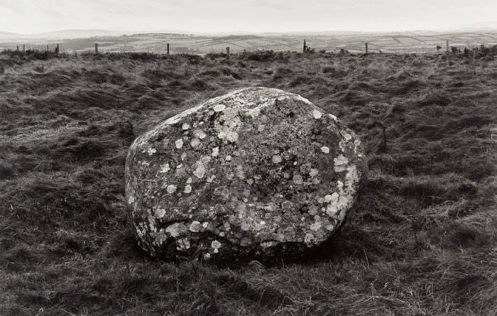 Enclosure in KilgowanEnclosure · 1107 yd
 IndicatedFairy fort / earthen ringfort · 1125 yd
 Castle (in Ruins)House, fortified house · 1552 yd
 Church in Brewel WestChurch · 1678 yd
 HawthornHawthorn · 1698 yd
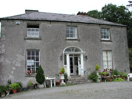 Calverstown Househouse · 1.3 mi
 Narraghmore Nature ReserveForest · 2.5 mi
 Battle of Kilrushbattle · 4.1 mi
 1798 memorial stoneMonument · 4.2 mi
 Gorden Bennet Race memorialMemorial · 7.0 mi
 History of Moat of ArdscullVisitor information · 7.0 mi