What is recorded here
Kilcarrig holds at least twelve small cupmarks cut into a flat boulder on a west-facing ridge in County Carlow. Someone stood there long ago, striking stone until it yielded, while cattle graze beside the mark now. The ridge continues east to another painted rock, suggesting a line of visibility rather than a lonely accident.
On a W-facing slope of a ridge which runs N-S, in pasture. There is rock art (CW016-130----) on another boulder c. 730m to the E on the summit of the ridge. A large earthfast boulder with at least 12 cupmarks (D c. 0.08m) on the upper flat surface of the outcrop.
Compiled by: Jean Farrelly
Date of upload: 9 January 2017
Likely dating to the Neolithic or Bronze Age, the rock art at Kilcarrig may have had ritual or symbolic significance, possibly linked to water sources or landscape features. Cupmarked stones are often associated with ceremonial use or markers in prehistoric landscapes.
The monument record does not grant public access. Check the route and ask the landowner before entering private land.
- What survives
- Recorded monument
Places near here
 Enclosure in KilreeEnclosure · 465 yd
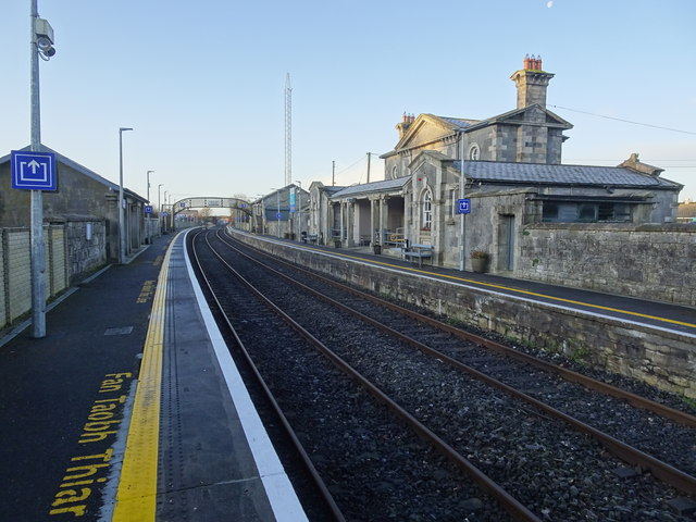 Bagenalstown Railway Stationfoot bridge · 573 yd
 Saint Mary's Church (Dunleckny)church/chapel · 682 yd
 Enclosure in KilcarrigEnclosure · 885 yd
 The Columban WayVisitor information · 993 yd
 Lock Keeper's House and Lodge MillsVisitor information · 1256 yd
 Wych ElmWych Elm · 1.0 mi
 Church (in ruins), GraveyardChurch · 1.4 mi
 Sweet ChestnutSweet Chestnut · 1.4 mi
 CastleCastle, motte · 1.5 mi
 Dunleckny Ho.Castle, unclassified · 1.5 mi
 Church, GraveyardChurch · 2.8 mi