What is recorded here
Glenree rock art hides inside the west bridge above the lough, where a footprint-like stone with a cupmarked heel still waits beneath plaster. That is the shape of the story: human making, river traffic and bridge building layered together until one part disappeared from view. The lough keeps the missing half alive because the place still contrasts made form, natural water and forgotten surface.
A stone with what appeared to be a footprint about 8 inches long, the heel part apparently formed by a cupmark was observed here (M. R. Colhoun 1945). The stone was built into the top of the W side of the road-bridge over a stream flowing into Glenree Lough. There is now no trace of it, but it may be obscured by a slight plaster cover on the bridge. The area consists of flat grazing land close to the seashore.
The above description was derived from the 'Archaeological Survey of County Donegal. A description of the field antiquities of the County from the Mesolithic Period to the 17th century.' Compiled by: Brian Lacey with Eamon Cody, Claire Cotter, Judy Cuppage, Noel Dunne, Vincent Hurley, Celie O'Rahilly, Paul Walsh and Seán Ó Nualláin (Lifford: Donegal County Council, 1983). In certain instances the entries have been revised and updated.
Date of upload: 22 September 2008
Likely dating to the Neolithic or Bronze Age, the footprint-like motif with a cupmark may represent symbolic or ritual imagery, possibly linked to movement, identity, or territorial markers. Such motifs are often associated with wider traditions of rock art across Britain and Ireland.
The monument record does not grant public access. Check the route and ask the landowner before entering private land.
- What survives
- Recorded monument
Places near here
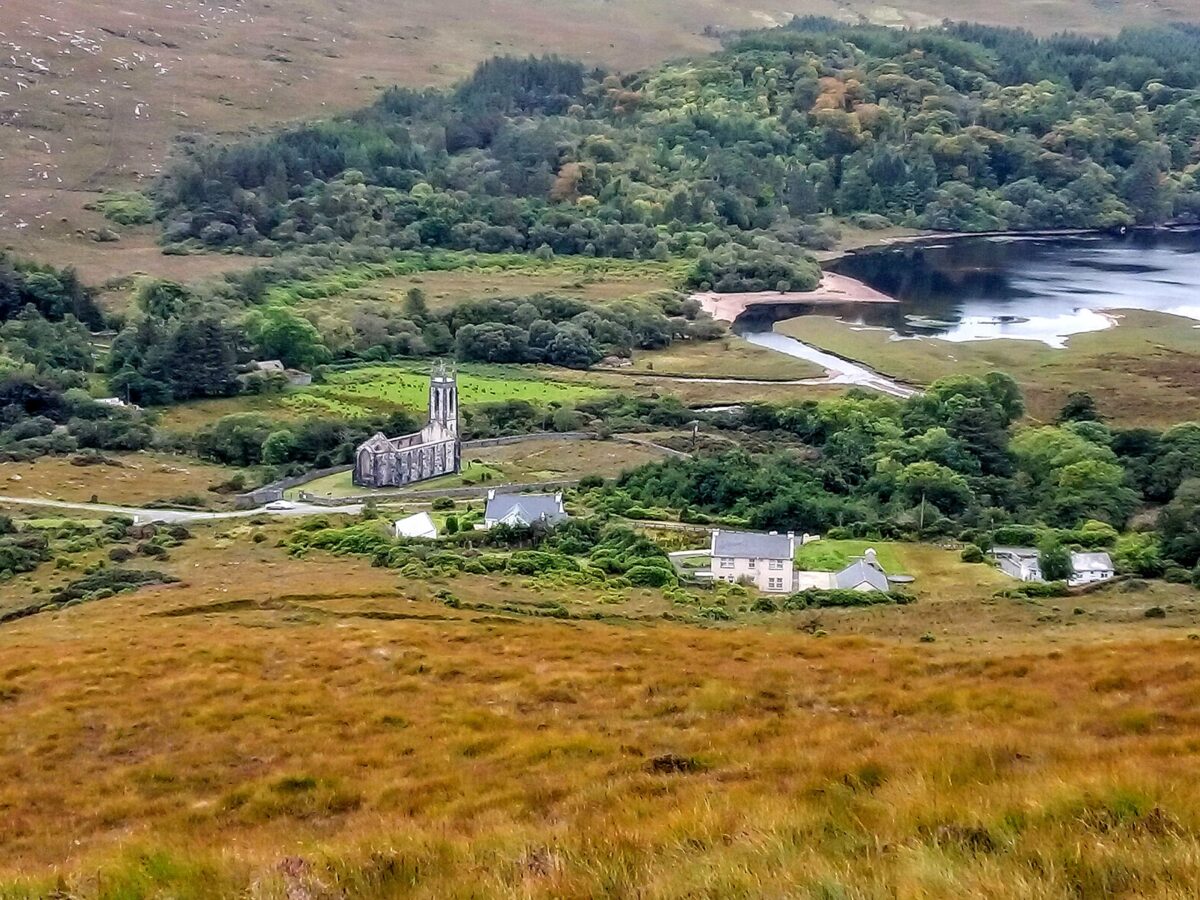 Lost Glenree Mound / FortEnclosure · 370 yd
 Church in DrumduttonChurch · 1440 yd
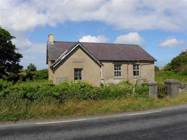 Carrigart National Schoolschool · 1647 yd
 Àn Trá MorBeach / strand · 1.1 mi
 Creevagh Fairy FortFairy fort / earthen ringfort · 1.3 mi
 Monterey CypressMonterey Cypress · 1.7 mi
 Monterey PineMonterey Pine · 1.7 mi
 Ards Friary Coastal LoopOfficial walking route · 1.7 mi
 Doe CastleCastle, tower house · 2.1 mi
 Clonmass IslandIslet · 2.6 mi
 DowningsOfficial bathing water · 2.9 mi
 Cliffs at Lamb's IslandPublicly named cliff or headland · 3.5 mi