What is recorded here
On a relatively level piece of ground, overlooking the Keocha Brook, a low-level, earthfast granite boulder (1.26m N-S; 0.8m E-W; H 0.38m). The surface of the boulder is reasonably flat and features c. 22 cup marks (avg. diam. 4cm; D 0.5cm-1cm) scattered across the stone with the most dense concentration across the centre.
See attached screenshot of 3D model of rock art created by Wicklow Rock Art Project, School of Archaeology, University College Dublin under the direction of Dr. Clíodhna Ní Lionáin. Photogrammetric 3D rock art model can be accessed at the following website: https://skfb.ly/AU7o
Compiled by: Chris Corlett and Claire Breen
Date of upload: 14 February 2013
Likely dating to the Neolithic or Bronze Age, the cup marks on the boulder may have held ritual or symbolic significance, possibly related to water or fertility, given its location near the Keocha Brook. Similar rock art is often associated with ceremonial or territorial marking in prehistoric landscapes.
The monument record does not grant public access. Check the route and ask the landowner before entering private land.
- What survives
- Recorded monument
Places near here
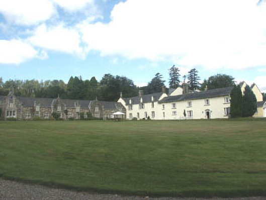 Glendalough Housecountry house · 1048 yd
 Native Woodland Trust: Paddock Hill ReserveWood · 1388 yd
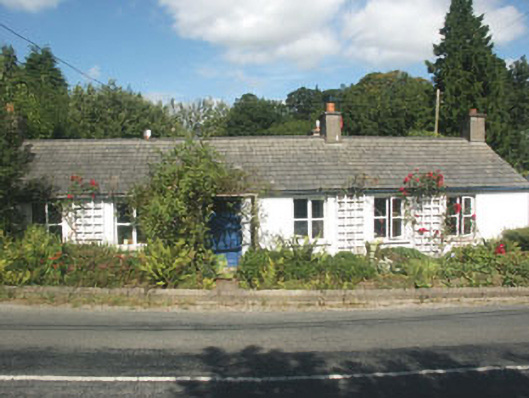 Sherrywoodhouse · 1.2 mi
 ScarrMountain / peak · 1.7 mi
 IndicatedEnclosure · 1.7 mi
 BallinacorbegMountain / peak · 1.9 mi
 Castle Kevin (in Ruins)Castle, motte and bailey · 2.1 mi
 Enclosure in TrooperstownEnclosure · 2.1 mi
 Coon BeachBeach / strand · 2.7 mi
 Glendalough Visitor CentreMuseum · 2.8 mi
 Glendalough Round TowerHeritage attraction · 2.8 mi
 Glenmacnass WaterfallWaterfall · 2.9 mi