What is recorded here
Situated on rough grazing near a disused quarry with views of the Knockbrack Hills to the N and NE and Trawbreaga Bay to the W. A quartzite boulder (1.7m x 1.2m x 0.27m) which has a cup mark enclosed by ten concentric circles, through which two grooves radiate out from the cup-mark at an angle of approximately 160 degrees. The outer circle measures 0.83m in diameter (Crumlish 1991, 171).
Compiled by: Caimin O'Brien
Date of upload/revision: : 31 May 2010
Likely dating to the Neolithic or Bronze Age, the cup mark and concentric circles may have held ritual or astronomical significance, possibly linked to water or fertility symbolism common in prehistoric rock art.
The monument record does not grant public access. Check the route and ask the landowner before entering private land.
- What survives
- Recorded monument
Places near here
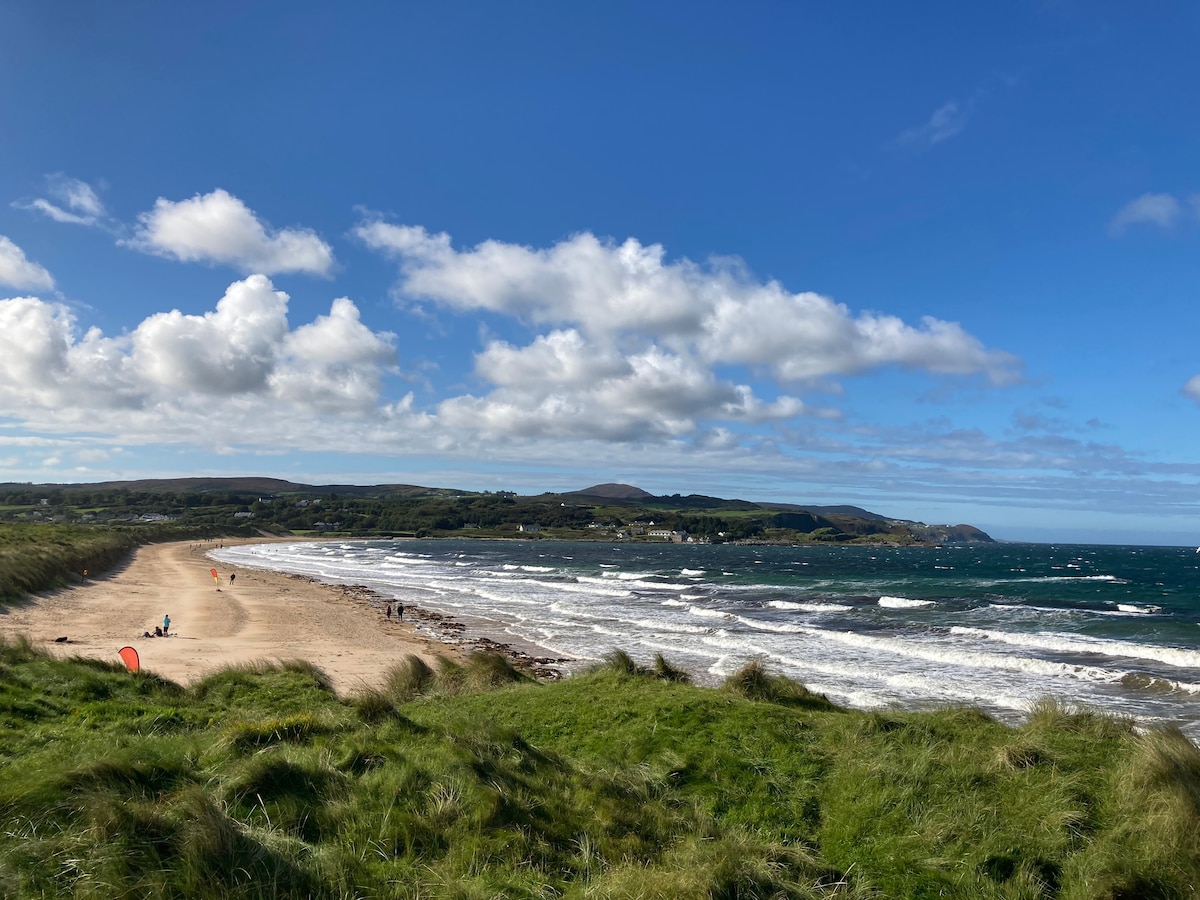 Drumaville Fairy FortFairy fort / earthen ringfort · 1628 yd
 St. Patrick's Catholic Churchchurch/chapel · 1640 yd
 Cross in TemplemoyleCross · 1727 yd
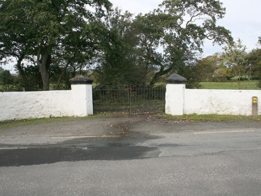 Rockville Housegates/railings/walls · 1749 yd
 CastleCastle, unclassified · 3.2 mi
 Carndonagh Early Church GraveyardGraveyard · 3.3 mi
 CuldaffOfficial bathing water · 3.4 mi
 Lag GraveyardGraveyard · 4.1 mi
 Doagh Famine VillageMuseum · 4.1 mi
 Dough Famine VillageHeritage attraction · 4.1 mi
 Five Finger StrandBeach / strand · 4.4 mi
 Malin Bridgebridge · 1.0 mi