What is recorded here
Derreen hides an unrecorded boulder marked with cups, circles and grooves, yet no one can now point to the exact stone. The mystery deepens because the clues include conflicting place names and a blurry memory of a driveway. That uncertainty does not diminish the art; it shows how easily ancient work disappears into ordinary land.
The precise location of a boulder decorated with prehistoric rock art within the townland of Derreen can not be identified. Two colour print photographs of a previously unrecorded boulder with rock art (cup and circles and grooves) in Derreen townland, Co. Kerry were brought to the Archaeological Survey Unit, UCC by Áine Brosnan, UCC on 02 April 2008. They were given to her by a night class student at the course she was lecturing on in Waterville. The photographs appear to be of two different boulders, the image with the rock art looks like it is resting grass beside a tarmacadam driveway and has two townland names on the back of the photograph 'Derreen, Mastergeehy'.
See attached photographs of decorated boulder
Compiled by: Caimin O'Brien
Date of upload: 23 June 2022
The monument record does not grant public access. Check the route and ask the landowner before entering private land.
- What survives
- Recorded monument
Places near here
 IndicatedFairy fort / earthen ringfort · 747 yd
 Enclosure in Derreen (iveragh By., Derriana Ed)Enclosure · 979 yd
 Cnoc na gCáinte (mullach thiar)Mountain / peak · 2.3 mi
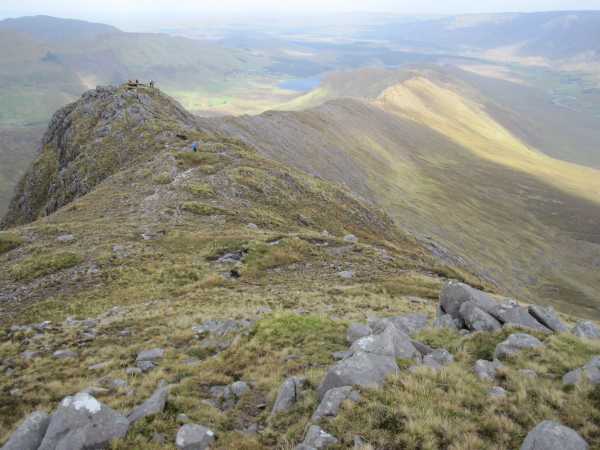 An Bhinn LáirMountain / peak · 2.6 mi
 Scoil Náisiúnta Máistir Gaoithe [Mastergeehy National School]school · 4.4 mi
 RoadRoad, road/trackway · 4.5 mi
 Short Castle (Site of)Castle, unclassified · 5.7 mi
 De Gaulle MemorialMonument · 7.0 mi
 Sneem Commemoration PlaqueMemorial · 7.2 mi
 Laharn Bog LoopWalking route · 8.3 mi
 Coral BeachBeach / strand · 8.4 mi
 GarinishIslet · 8.8 mi