
What is recorded here
Internal diam. 17.9m N-S, 25m E-W
This bivallate, oval-shaped rath is located on the S side of the Inny river valley in rough, gently sloping pasture. The inner bank is composed of earth and gravel, with a number of large boulders incorporated along its base. Short stretches of irregularly coursed walling flank its inner face, particularly around the entrance area at E. It varies in internal height from .8m to 1.8m and it is up to 4.5m in basal width. The bank falls 2.9m to the base of the overgrown, though well-defined, 2.8m wide, fosse. The outer bank is composed of earth and gravel capped with irregular slabs and boulders. It rises 1m above the base of the fosse, is 1.9m wide and has an external height of .5m. It is best preserved at S, and in the NW sector it survives only as a sporadic spread of boulders and stone. It is no longer extant at E, where a 4.6m long causeway is preserved across the fosse. The stone-faced entrance gap in the inner bank at this point measures 2.3m wide. The interior of the site is traversed by a series of E-W cultivation ridges.
The above description is derived from A. O'Sullivan and J. Sheehan (compilers), 'The Iveragh peninsula: an archaeological survey of South Kerry'. Cork University Press (1996), no. 505. In certain instances the entries have been revised and updated in the light of recent research.
Date of upload: 29 July 2013
The monument record does not grant public access. Check the route and ask the landowner before entering private land.
- What survives
- Recorded monument
Places near here
 Man-made underground passage in Ballynakilly (iveragh By., Derriana Ed)Man-made underground passage · 905 yd
 Enclosure in Drom Na CoilleEnclosure · 1145 yd
 Cnoc na gCáinte (mullach thiar)Mountain / peak · 2.1 mi
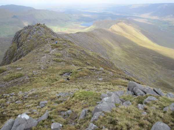 An Bhinn LáirMountain / peak · 2.7 mi
 RoadRoad, road/trackway · 4.3 mi
 Scoil Náisiúnta Máistir Gaoithe [Mastergeehy National School]school · 4.8 mi
 Short Castle (Site of)Castle, unclassified · 6.0 mi
 De Gaulle MemorialMonument · 6.9 mi
 Sneem Commemoration PlaqueMemorial · 7.0 mi
 Coral BeachBeach / strand · 8.5 mi
 Laharn Bog LoopWalking route · 8.6 mi
 GarinishIslet · 8.8 mi
Other information
Photo: Credit not shown in the picture search · Rights wording not checked; contact us if this picture should be removed