What is recorded here
Orpen recorded a single cup-and-circle on a rock corner in Cinn Aird Thoir before people broke the stone for road-metal. The mark likely sat sixteen metres from another lost pattern, joining it across an open field where visibility stretched toward a distant crag. Forging a practical road from a sacred or marked stone turns human ambition into a brutal joke. The rock is gone, but the act of taking it for pavement remains recorded in local memory.
About 18m N of the original location of KE053-054----, Orpen (1908, 12-3) noted a single cup-and-circle on the corner of a rock. This has apparently been broken up for use as road-metal (local information).
The above description is derived from J. Cuppage (compiler) 'Corca Dhuibhne. Dingle Peninsula archaeological survey.' Ballyferriter. Oidhreacht Chorca Dhuibhne (1986), no. 187. In certain instances the entries have been revised and updated in the light of recent research.
Date of upload: 29 May 2013
In improved pasture (85m OD), on generally level ground, at base of a very gentle NNW-facing slope. Reasonable views W->N->NE and higher ground further to S, where there is a distinctive crag. Located approximately 18m to N of the original location of rock art (KE053-054----), Orpen (1908, 12-3) noted a single cup-and-circle on the corner of a rock. This has apparently been broken up for use as road-metal (local information). The precise original location of rock art (KE053-054----) is unknown, so it is not possible to pinpoint exactly where rock art (KE053-089----) would have been in relation to it, although they are assumed to have been in the same field.
Compiled by: Alison McQueen and Vera Rahilly
Date of upload: 7 July 2017
The monument record does not grant public access. Check the route and ask the landowner before entering private land.
- What survives
- Recorded monument
Places near here
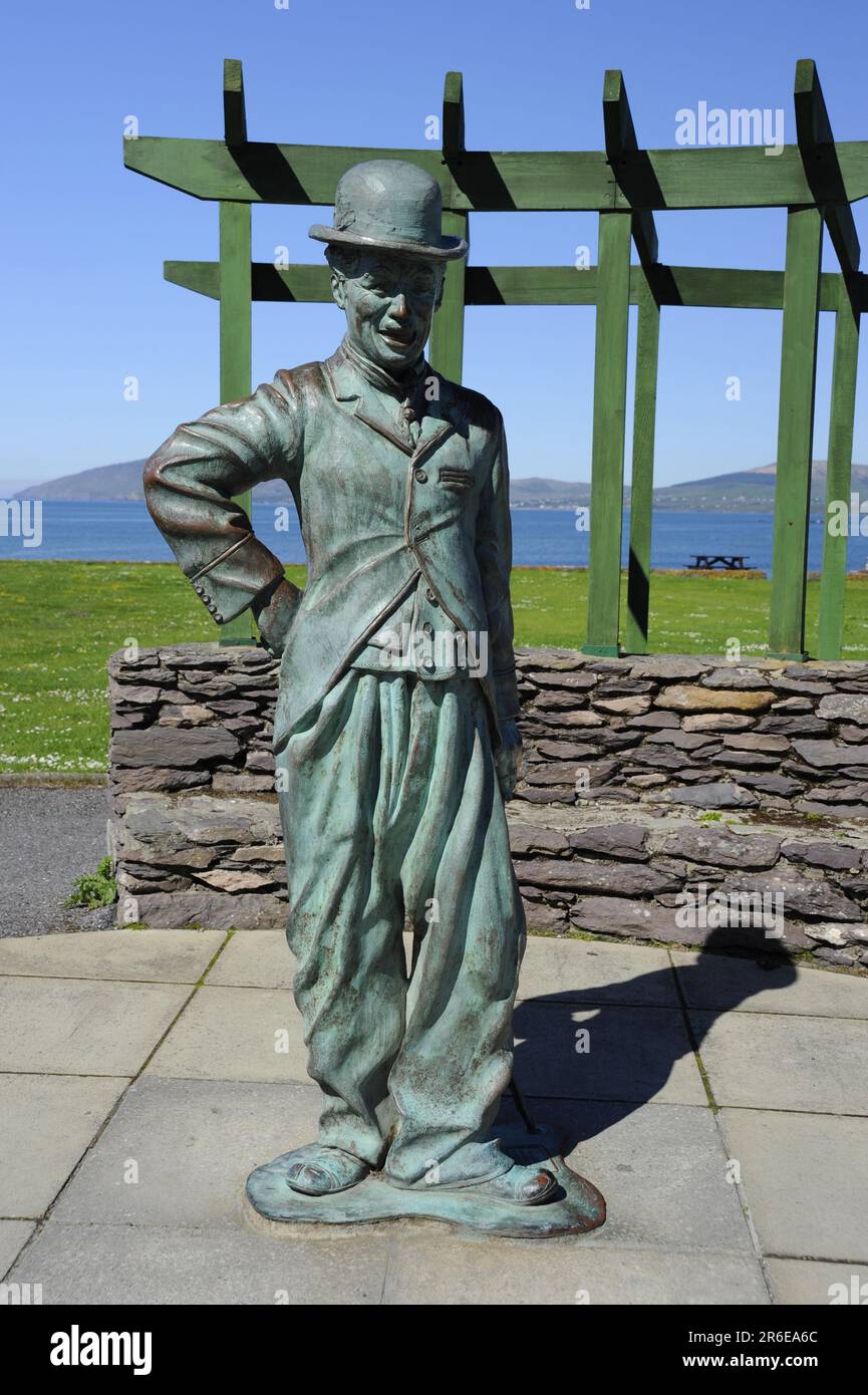 Indicated (1846).Fairy fort / earthen ringfort · 92 yd
 Megalithic structure in Cinn Aird Thiar (tc Baile An Sceilg)Megalithic structure · 720 yd
 Reglaish Church (in Ruins)Church · 893 yd
 Trá an GhleanntáinBeach / strand · 1361 yd
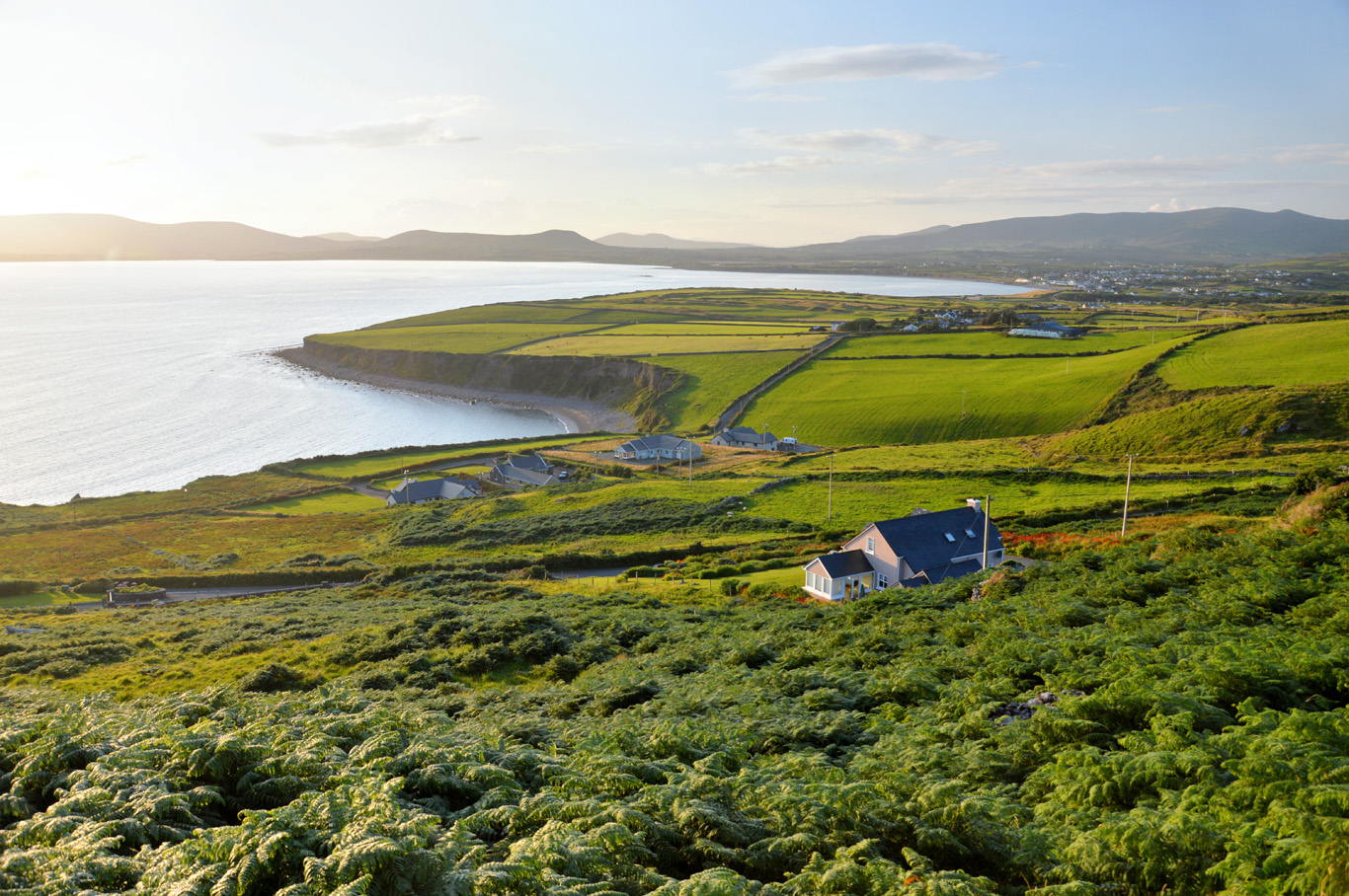 Trá Bhaile an SceilgeBeach / strand · 1751 yd
 Ballinskelligs Castle (in Ruins)Castle, tower house · 1.1 mi
 KillurlyMountain / peak · 1.3 mi
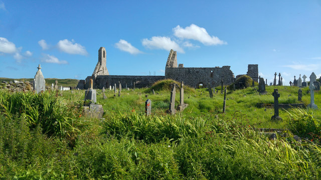 Ballinskelligs PrioryVisitor information · 1.3 mi
 Ballinskelligs Abbey (in ruins)Religious house, Augustinian canons · 1.3 mi
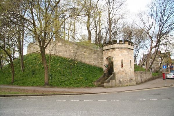 Castle (in Ruins)Castle, tower house · 1.3 mi
 Coastguard Station RuinsRuins · 1.7 mi
 Oileán na gCapallIslet · 1.8 mi