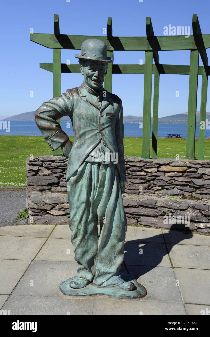
What is recorded here
Indicated (1846) is a circular earthen enclosure overlooking Ballinskelligs Bay in County Kerry, Ireland. Its sod-covered bank and scattered upright slabs mark a burial ground abandoned before the late nineteenth century. The rows of stone inside the ring suggest people placed their dead with care beside the sea, leaving a quiet shape for later wanderers to imagine.
Burial Ground KE097001- is situated in sloping pasture on the E side of a ridge which overlooks Ballinskelligs Bay, this circular enclosure measures 19.4m N-S x 17.5m E-W internally. The enclosing element consists of a poorly preserved, heavily sod-covered bank of earth and stone which has stretches of drystone facing along its inner flank at W. It has a maximum external height of 1.15m at E, a maximum internal height of .7m at W and is 2.75m in average width. Some sections of the bank at N are levelled. A dense scatter of loose stone, quartz blocks and upright slabs occupies the interior of the site. Most of the latter occur in its W half and are arranged in E-W rows. A number of amorphous mounds are also apparent. The site was no longer in use as a burial ground by the late nineteenth century.
The above description is derived from A. O'Sullivan and J. Sheehan (compilers), 'The Iveragh peninsula: an archaeological survey of South Kerry'. Cork University Press (1996), no. 1031. In certain instances the entries have been revised and updated in the light of recent research.
Date of upload: 30 July 2013
The monument record does not grant public access. Check the route and ask the landowner before entering private land.
- What survives
- Recorded monument
Places near here
 Megalithic structure in Cinn Aird Thiar (tc Baile An Sceilg)Megalithic structure · 645 yd
 Reglaish Church (in Ruins)Church · 808 yd
 Cloch Oghaim/Ogham Stone.Archaeological place · 1250 yd
 Trá an GhleanntáinBeach / strand · 1397 yd
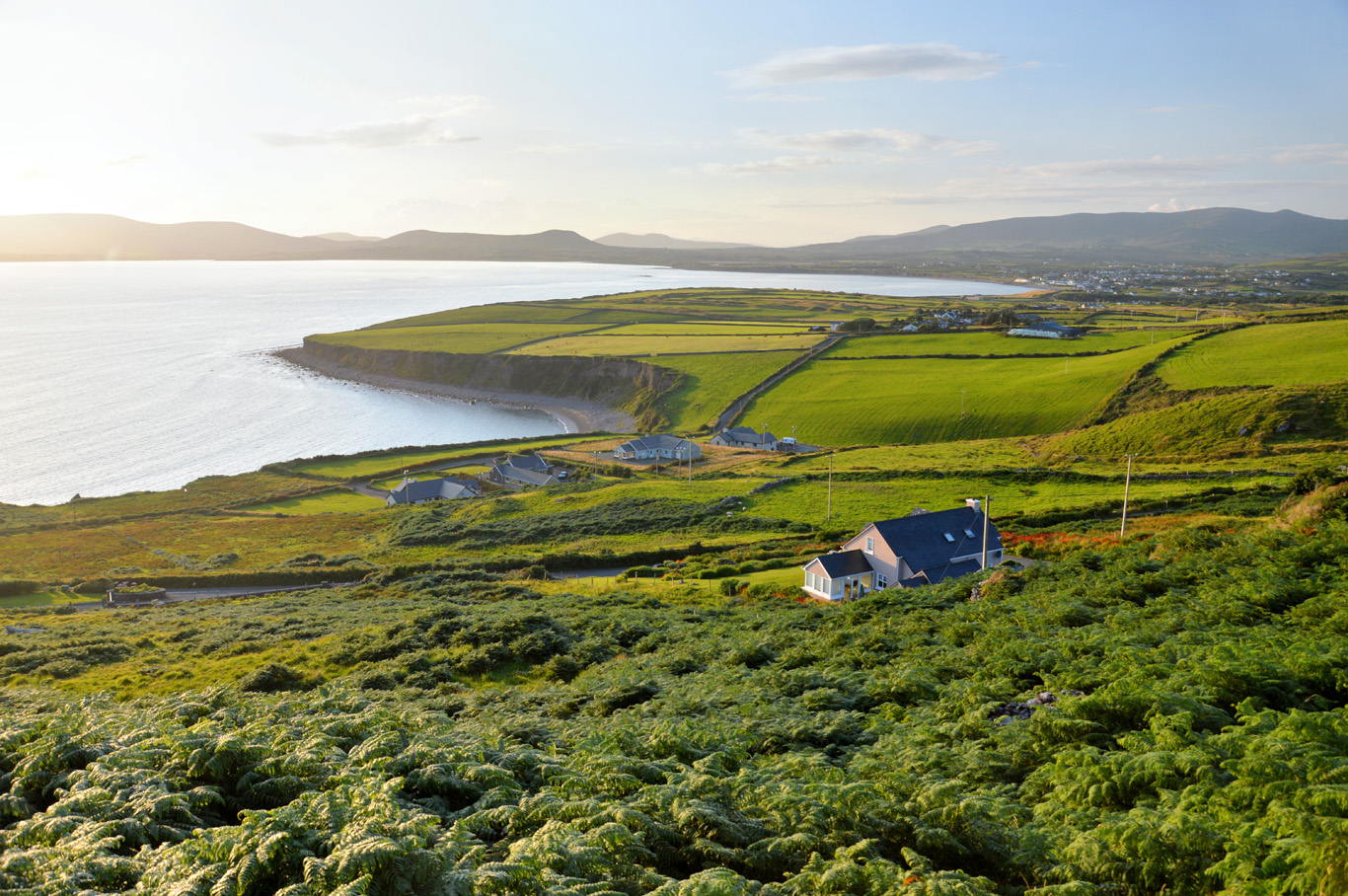 Trá Bhaile an SceilgeBeach / strand · 1.0 mi
 Ballinskelligs Castle (in Ruins)Castle, tower house · 1.1 mi
 KillurlyMountain / peak · 1.2 mi
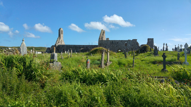 Ballinskelligs PrioryVisitor information · 1.3 mi
 Ballinskelligs Abbey (in ruins)Religious house, Augustinian canons · 1.3 mi
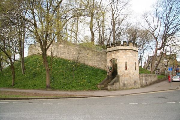 Castle (in Ruins)Castle, tower house · 1.3 mi
 Coastguard Station RuinsRuins · 1.7 mi
 Oileán na gCapallIslet · 1.8 mi
Other information
Photo: Credit not shown in the picture search · Rights wording not checked; contact us if this picture should be removed