
What is recorded here
This orthostatic monument, overlooking Ballinskelligs Bay to E, is located close to the NW corner of a field in sloping pasture about 200m E of Reglaish church (KE097-025----). The site consists of eight orthostats and three prostrate slabs which together outline a level rectangular area, open at SW, measuring c. 5.5m NE-SW x 1.7m NW-SE. The SE side is the best preserved and is represented by five upright slabs which range from .4m to 1.2m high and from .7m to 1m long, and by one prostrate slab, .8m x .32m. The NE side is represented by a block-like stone located at its SE end. Two upright stones denote the NE end of the NW side, and two overlying prostrate slabs mark its SW end. The latter slabs average 1.1m in length.
The above description is derived from A. O'Sullivan and J. Sheehan (compilers), 'The Iveragh peninsula: an archaeological survey of South Kerry'. Cork University Press (1996), no. 1473. In certain instances the entries have been revised and updated in the light of recent research.
Date of upload: 1 August 2013
The monument record does not grant public access. Check the route and ask the landowner before entering private land.
- What survives
- Recorded monument
Places near here
 Reglaish Church (in Ruins)Church · 236 yd
 Indicated (1846).Fairy fort / earthen ringfort · 275 yd
 Trá an GhleanntáinBeach / strand · 1403 yd
 IndicatedHut site · 1508 yd
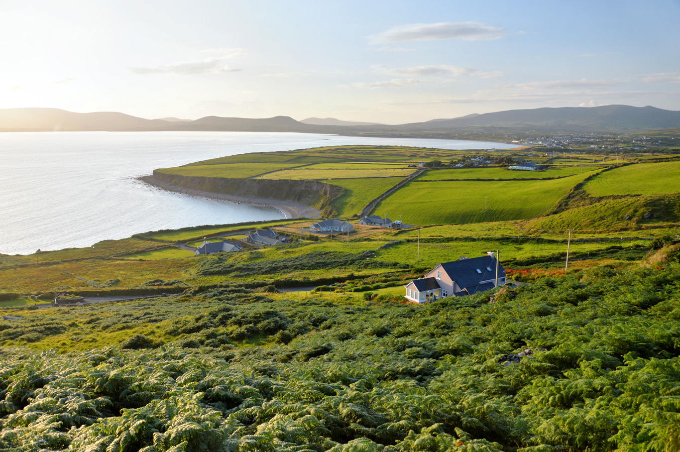 Trá Bhaile an SceilgeBeach / strand · 1642 yd
 Ballinskelligs Castle (in Ruins)Castle, tower house · 1692 yd
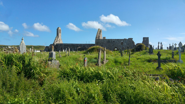 Ballinskelligs PrioryVisitor information · 1.1 mi
 KillurlyMountain / peak · 1.1 mi
 Ballinskelligs Abbey (in ruins)Religious house, Augustinian canons · 1.1 mi
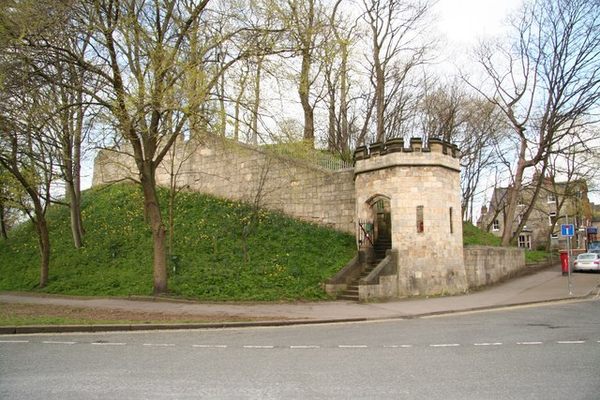 Castle (in Ruins)Castle, tower house · 1.2 mi
 Coastguard Station RuinsRuins · 1.4 mi
 Poll na TóirníCave · 1.6 mi
Other information
Photo: Credit not shown in the picture search · Rights wording not checked; contact us if this picture should be removed