What is recorded here
On poorly drained, rough pasture on the N bank of a tributary of the Ballinskelligs river. A roughly circular setting of upright slabs which measures 3.75m x 3.25m internally. The slabs range in height from .35m to 1.2m and in width from .45m to 1.1m. The majority are positioned end-to-end with some examples overlapping. The two tallest slabs, located at NE, may represent the entrance. Some upright slabs occur externally to NE and SW. Both Lynch and Henry refer to the hut as Clochán Liath (1902b, 340; 1957, 109).
The above description is derived from A. O'Sullivan and J. Sheehan (compilers), 'The Iveragh peninsula: an archaeological survey of South Kerry'. Cork University Press (1996), no. 1120. In certain instances the entries have been revised and updated in the light of recent research.
Date of upload: 31 July 2013
The monument record does not grant public access. Check the route and ask the landowner before entering private land.
- What survives
- Recorded monument
Places near here
 Field boundary in An Com (bar. Uíbh Ráthach)Field boundary · 927 yd
 Hut site in Baile An SceilgHut site · 1065 yd
 Reglaish Church (in Ruins)Church · 1355 yd
 Trá PhraisceBeach / strand · 1552 yd
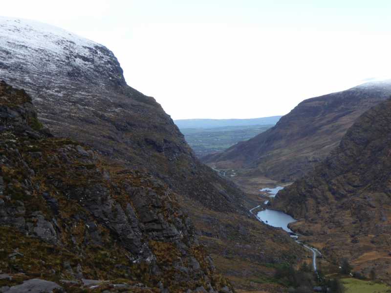 Cnoc Ceannúch (Canuig Mountain)Mountain / peak · 1558 yd
 Cuas na LéimeCave · 1.1 mi
 Poll na TóirníCave · 1.1 mi
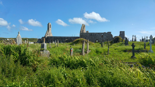 Ballinskelligs PrioryVisitor information · 1.2 mi
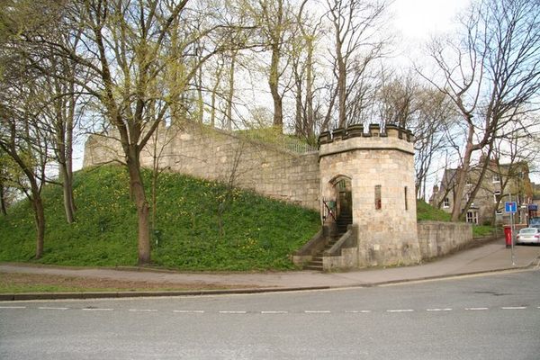 Castle (in Ruins)Castle, tower house · 1.2 mi
 Ballinskelligs Abbey (in ruins)Religious house, Augustinian canons · 1.2 mi
 Coastguard Station RuinsRuins · 1.3 mi
 KillurlyMountain / peak · 1.3 mi
Other information
Photo: Credit not shown in the picture search · Rights wording not checked; contact us if this picture should be removed