What is recorded here
A large stone, uncovered when digging for a well. It is triangular in elevation, 1.47 × 1.16m × 1.1m, and 0.25m thick. There are 6 cup-marks, 2 with circles, one of which has a tail. It is situated now in the yard of a new bungalow, at the top of the cultivation level, on W sloping ground.
The above description was derived from the 'Archaeological Survey of County Donegal. A description of the field antiquities of the County from the Mesolithic Period to the 17th century.' Compiled by: Brian Lacey with Eamon Cody, Claire Cotter, Judy Cuppage, Noel Dunne, Vincent Hurley, Celie O'Rahilly, Paul Walsh and Seán Ó Nualláin (Lifford: Donegal County Council, 1983). In certain instances the entries have been revised and updated.
Date of upload: 22 September 2008
Likely dating to the Neolithic or Bronze Age, the rock art at Carrowmullin may have had ritual or symbolic significance, possibly linked to water sources or territorial markers. The presence of cup-marks with circles and a tail suggests connections to wider European traditions of ceremonial or astronomical symbolism.
The monument record does not grant public access. Check the route and ask the landowner before entering private land.
- What survives
- Recorded monument
Places near here
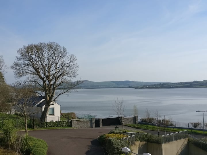 Lisfannan Hilltop EnclosureHilltop enclosure · 525 yd
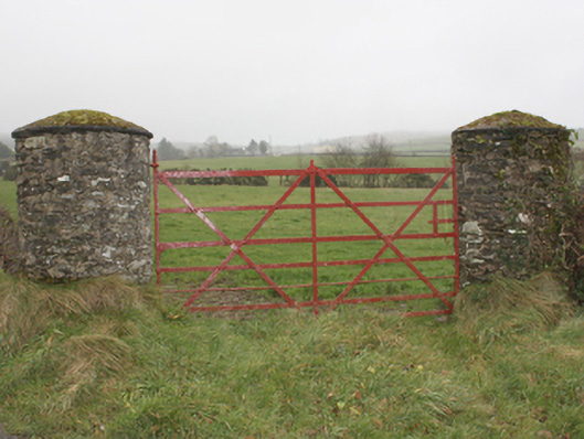 gates/railings/wallsgates/railings/walls · 1030 yd
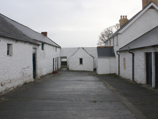 farmyard complexfarmyard complex · 1049 yd
 LisfannonOfficial bathing water · 1.1 mi
 Fahan Holy WellHoly well · 1.1 mi
 Brown’s PointHeadland · 1.7 mi
 Bawn in An Machaire Beag (tc Fathain)Bawn · 1.8 mi
 Mass RockNamed rock · 1.9 mi
 Lackan ForestForest · 1.9 mi
 Lady's Bay, BuncranaOfficial bathing water · 2.3 mi
 Cashel HillMountain / peak · 2.5 mi
 Inch FortCastle · 2.6 mi