What is recorded here
A large earthfast schist boulder, the W and S sides of which are partially exposed (L 1.8m N-S; Wth 1.2m E-W), with 21 cup marks scattered across its surface (diams. 4-7cm; D 2-3cm) and possibly two additional very small cups (diams. 2cm; D 5cm) which may not be original. At the N end, a square area is outlined (L 0.2m; Wth 0.2m) which frames an incised X.
Compiled by: Claire Breen and Chris Corlett
Date of upload: 22 November 2012
Likely dating to the Neolithic or Bronze Age, this rock art may have had ritual or symbolic significance, possibly linked to fertility, celestial observation, or territorial markers. The cup marks are commonly associated with ceremonial practices in prehistoric Europe.
The monument record does not grant public access. Check the route and ask the landowner before entering private land.
- What survives
- Recorded monument
Places near here
 Scotch VillageRuins · 1510 yd
 Coon BeachBeach / strand · 1618 yd
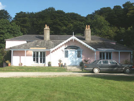 Lake Park Househouse · 1631 yd
 Abandoned Miners' VillageArchaeological place · 1716 yd
 BallinafunshogeMountain / peak · 1.2 mi
 ScarrMountain / peak · 1.3 mi
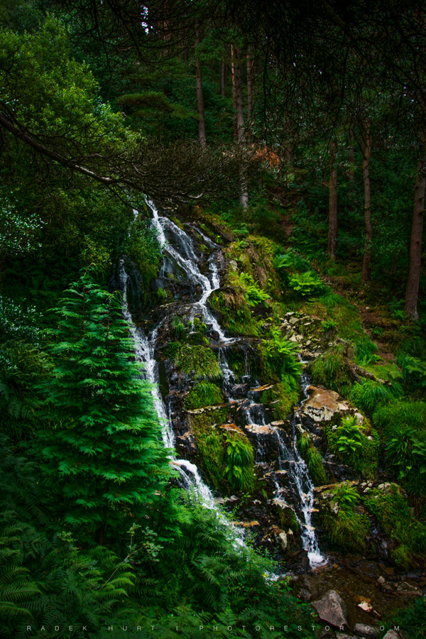
 Glenmacnass WaterfallWaterfall · 2.1 mi
 Font in Ashtown OR BallinafunshogeFont · 2.2 mi
 Native Woodland Trust: Paddock Hill ReserveWood · 2.5 mi
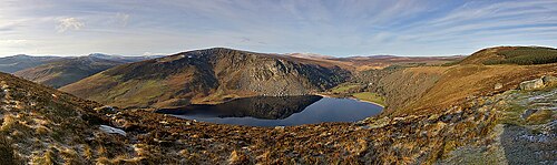 Lough TayMountain lake · 2.8 mi
 Victor's WayHeritage attraction · 3.2 mi
 J.B. Malone MemorialMemorial · 3.2 mi