What is recorded here
Clear water stripped the stone smooth before a hand cut the oval hollow, suggesting a place for marking time or offering something small. The two shallow lines extend from its sides like a vessel spilling across rock, while the nearby cairn stands as a witness rather than a barrier. Clare Island keeps this quiet agreement between human intention and sea-worn stone, inviting people to watch the horizon through a cut made long before written record.
In commonage, at the SW end of Clare Island, located on an earth-fast stone, which is set in a low bank-like rise 1.5m SE of a cairn (MA084-009----). An oval cupmark (0.08m NE−SW; 0.06m NW−SE; D 0.015m) is visible on the smooth, upper surface of the stone (c. 0.8m E-W; c. 0.5m N-S). Pock marks are visible in the base of the hollow. Two shallow lines (Wth 0.01m) extend from the sides of the cupmark to NE (L 0.07m) and SW (L 0.06m). There is a natural NE−SW fissure in the stone surface immediately to NW of the cupmark. (Gosling, Manning and Waddell 2007, 102, no. 3).
Compiled by: Jane O’ Shaughnessy
Date of upload: 16 May 2017
Likely dating to the Neolithic or Bronze Age, the cupmark on the standing stone at Bunnamohaun may have had ritual or symbolic significance, possibly linked to water or fertility. Similar motifs are found across Ireland and are often associated with ceremonial landscapes.
The monument record does not grant public access. Check the route and ask the landowner before entering private land.
- What survives
- Recorded monument
Places near here
 Enclosure in BunnamohaunEnclosure · 457 yd
 farm housefarm house · 789 yd
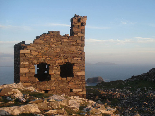 Shivel Head Signal Towersignal tower · 893 yd
 Clare Island Signal TowerRuins · 894 yd
 KnockmoreMountain / peak · 1.2 mi
 Clare IslandIsland · 1.9 mi
 ScalpatruceMountain / peak · 1.9 mi
 Granuaile's CastleCastle · 3.6 mi
 Caher IslandIsland · 5.3 mi
 Turloughbeg StrandBeach / strand · 6.0 mi
 Carrownisky BeachBeach / strand · 6.5 mi
 Kildavnet CastleCastle, tower house · 7.1 mi