What is recorded here
Thirty-eight deep cups and three faint rings are cut into a smooth sandstone boulder on a gentle west-facing slope in County Kerry. The stone sits thirty metres from a standing stone, overlooking pasture and distant mountains, while vegetation now creeps across its western edge. Whoever chiselled those marks worked a surface large enough to walk around, choosing a place where the sky opens wide and the valley drops away beneath their hands.
A standing stone (KE045-083001-), cup-marked stone and possible cist are grouped in close proximity to one another, overlooking the Anascaul valley from the level summit of a local E-W rise in generally undulating pasture at the foot of Knockafeehane. Rock art motifs cover almost the entire surface of the boulder which measures 2.4m x 1.9m x at least .4m thick. There appear to be at least 48 cup-marks, 2 cup-and-circles, one with a radial groove extending through a gap in the circle, a cup-and-radial groove, and also a pair of cup-marks partly enclosed by an incomplete oval. Some of the isolated, curvilinear grooves may be natural. At the NW edge a fragment of the stone has broken away removing part of the design. This fragment was presented to O'Connell (1939, 45), and its present whereabouts is not known. In the 1930's a grave with 'built-up sides, a covering flag and a skeleton inside' (local information) was discovered while ploughing a short distance S of the rock art. Buried near this were 2 or 3 piles of quartz pebbles.
The above description is derived from J. Cuppage, ‘Corca Dhuibhne. Dingle Peninsula archaeological survey. Ballyferriter. Oidhreacht Chorca Dhuibhne’ (1986), no. 177. In certain instances the entries have been revised and updated in the light of recent research.
Date of upload: 4 August 2013
In improved pasture (71m OD), on a gentle W-facing slope, c. 10m to E of field boundary. Good view of Stradbally Mountain and Beenoskee to N and generally good landscape view toward Dingle, to W; Views are slightly obscured by field boundary and housing estate NW->NE. The decorated surface is as depicted by Cuppage (1986, 57; Fig. 35c), however some of the stone is now covered by vegetation particularly on W side. A smooth and fractured sandstone (dims. 1.80m N-S; 1.60m E-W; max. H 0.55m at N) with a rectangular decorated surface (dims. 1.30m N-S; 1.00m E-W) having a S-facing aspect. A fracture (long-axis NNW-SSE) traverses W side of decorated surface and is filled with grass and moss; A roughly triangular fracture is at N end of fracture, as described by Cuppage (ibid). The motifs are in good condition and consist of three partial cup-and-ring motifs (overall diam. 15cm; ring Wth 1-1.5cm; D 3mm; cup diam. 5-7cm; D 8mm) having an incomplete ring which is very faint and difficult to trace. There are thirty-eight cupmarks (diam. 5-10cm; D 6-12mm) which occupy most of the decorated surface. A standing stone (KE045-083001-) is c. 30m to E.
Compiled by: Alison McQueen and Vera Rahilly
Date of upload: 6 July 2017
Likely dating to the Neolithic or Bronze Age, the cup-marked stone may have had ritual or ceremonial significance, possibly linked to water sources or territorial markers. Such stones are often associated with burial or ritual practices, though specific folklore or use in this case is not recorded.
The monument record does not grant public access. Check the route and ask the landowner before entering private land.
- What survives
- Recorded monument
Places near here
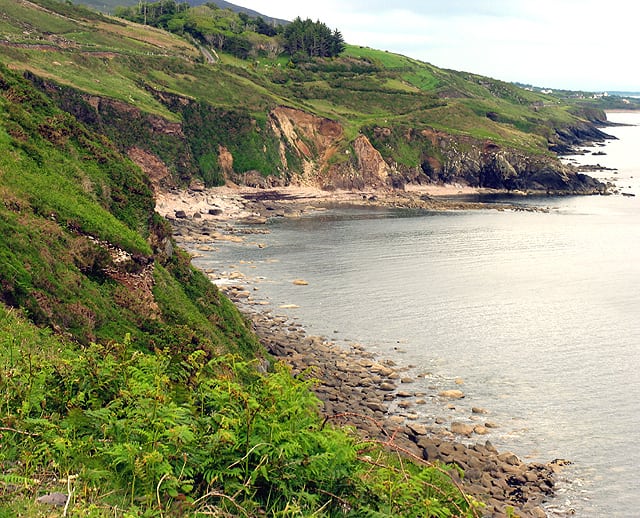 Man-made underground passage in Brackloon (corkaguiny By.)Man-made underground passage · 158 yd
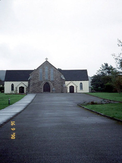 Catholic Church of the Sacred Heartchurch/chapel · 441 yd
 Brackloon Lodgehotel · 575 yd
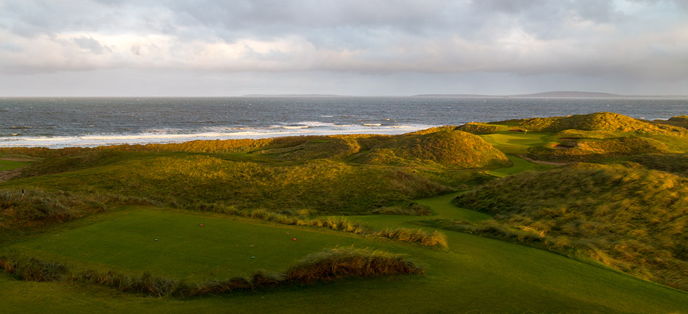 Man-made underground passage in BallintermonMan-made underground passage · 853 yd
 Statue of Our LadyHeritage attraction · 938 yd
 Jerome ConnorMemorial · 966 yd
 Bunaneer StrandBeach / strand · 1735 yd
 Graveyard in BallynacourtyGraveyard · 1.5 mi
 BrickanyMountain / peak · 1.9 mi
 Acres PointHeadland · 2.8 mi
 Minard Castle (in ruins)Castle, tower house · 3.3 mi
 Caisleán na Mine AirdeCastle · 3.3 mi