What is recorded here
Mouldy Hill rises above a narrow boggy valley where a half-buried stone displays a ringed cupmark, its three shallow grooves still visible beneath encroaching heather. The western edge opens suddenly toward Lough Swilly and the distant peaks of Errigal, suggesting the marker faced a vast horizon rather than a hidden chamber. Whoever cut that small circle may have watched weather move across the water or aimed a ritual gesture toward the mountains, leaving behind a quiet invitation to look further.
In the blanket-bog covered uplands, with Mouldy Hill forming the highest point at W. Located in rough heather- and sedge-covered terrain at the W end of a narrow E–W boggy ‘valley’ bordered on the N and S by ridges of rock outcropping. The W end of the valley opens out, providing an expansive vista S–W of Lough Swilly, Inch Island and fertile lowland in the middle distance, framed in the background by the mountains of W Donegal, including Muckish Mountain, the peak of Errigal, and the Derryveagh Range.
This decorated stone presents a flat, fine-grained horizontal surface embedded in the ground. The full extent of the stone is uncertain -only a portion (L 0.85m E–W; Wth 0.58m N–S T at least 0.1m) is exposed, with heather encroaching on all sides.
A ringed-cupmark, shallow and weathered, is visible at the narrow E end of the exposed surface. The cupmark (diam. 5cm) is enclosed by three concentric rings, each consisting of a shallow groove (Wth c. 2cm). The third, outermost ring can only be traced as an arc on the NE side.
A shallow subcircular depression (diam. c. 4cm) located 10-12cm W of the ringed-cupmark may be the weathered remnant of another cupmark, but this is very uncertain.
Notified to National Monument Service by Liam McLoughlin.
Compiled by: Jane O’Shaughnessy
Date of upload: 20 June 2022
Likely dating to the Neolithic or Bronze Age, the rock art in Ballynahone may have served ritual or territorial purposes, common in upland landscapes of western Britain and Ireland. Such sites are often associated with symbolic navigation of the landscape or ancestral memory.
The monument record does not grant public access. Check the route and ask the landowner before entering private land.
- What survives
- Recorded monument
Places near here
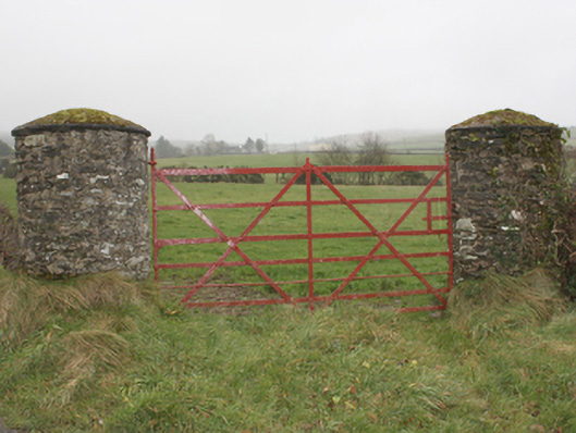 gates/railings/wallsgates/railings/walls · 1402 yd
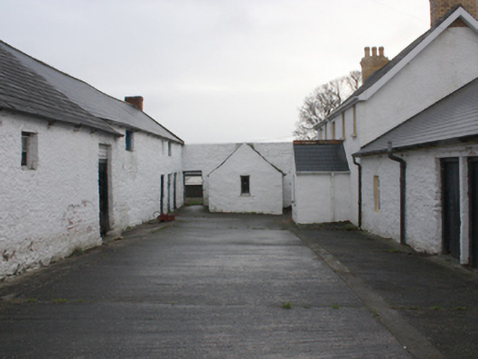 farmyard complexfarmyard complex · 1464 yd
 Enclosure in GranshaEnclosure · 1703 yd
 Dermot & Grania's BedArchaeological place · 1746 yd
 LisfannonOfficial bathing water · 1.9 mi
 Bawn in An Machaire Beag (tc Fathain)Bawn · 2.1 mi
 Cashel HillMountain / peak · 2.2 mi
 Mass RockNamed rock · 2.3 mi
 Brown’s PointHeadland · 2.4 mi
 Lady's Bay, BuncranaOfficial bathing water · 2.5 mi
 Lackan ForestForest · 2.7 mi
 Scalp MountainMountain / peak · 2.8 mi