What is recorded here
An unsteady spiral of concentric rings is cut into a flat limestone slab beside a holy well, yet the outer lines break and the gaps widen without reason. The stone may be prehistoric or a later imitation, but it is no longer in its original place. That loss removes the clue which would have explained the shape, leaving only the well, the slope and a marking that refuses to be read.
Located at the top of an E-facing slope in the W corner of a pasture field, 10m SSW of a holy well (MA117-001----). The slope drops steeply to level ground which stretches to the wooded shoreline of Lough Mask, which lies c. 200m to W. Prostrate limestone slab (L 1.05m NE−SW; Wth 0.28m; T at least 0.1m), embedded in the ground surface, with a carving of concentric rings (diam. 0.16m) on its upper surface. The slab is roughly rectangular in shape and cross-section. The carving is located more or less mid-way along the upper surface of the slab, somewhat off-centre so that it lies closer to one long side of the stone. At first glance the design appears to be a spiral; however, the incised grooves cannot be traced as a continuous spiral line. The three innermost incised rings form complete circles, with the innermost ring enclosing a small central boss. The outermost incised lines do not describe complete circles; they are discontinuous, interrupted by ridges and rough areas on the stone surface. There is irregularity also in the width of the gaps between the incised lines, and to a lesser extent in the width and depth of the incised lines themselves. It is possible that the carving represents prehistoric rock art, however, the stone is clearly not in its original location, and its history is unknown. The date and exact nature of the carving, therefore, remain uncertain.
Attached image:
MA117-063----_01.JPG
Compiled by: Jane O'Shaughnessy
Date of upload: 1 June 2017
Likely dating to the Neolithic or Bronze Age, this rock art may have had ritual or territorial significance, possibly linked to the nearby holy well. Its location overlooking Lough Mask suggests a connection to landscape features important in prehistoric belief systems.
The monument record does not grant public access. Check the route and ask the landowner before entering private land.
- What survives
- Recorded monument
Places near here
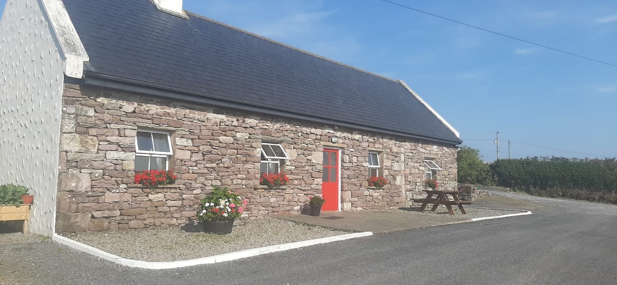 ToberkeelaghHoly well · 11 yd
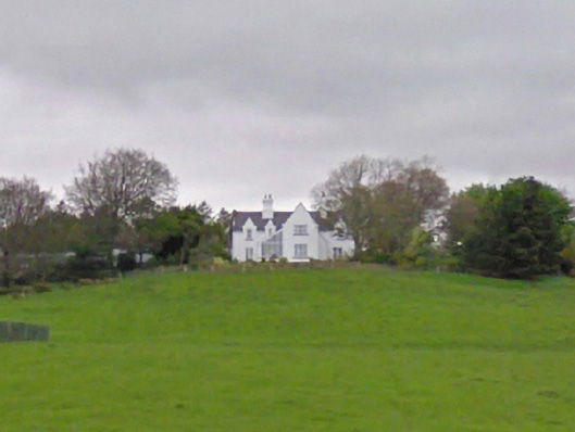 The Grangehouse · 308 yd
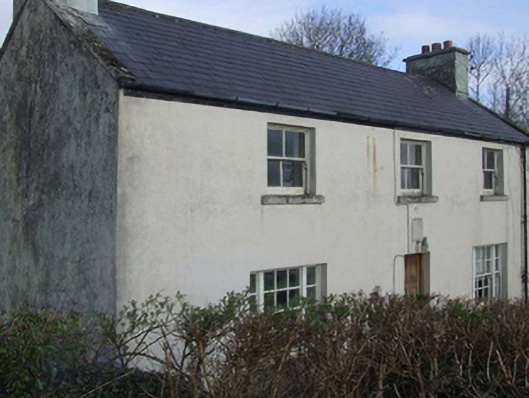 The Barracksgarda station/constabulary barracks · 588 yd
 Coill Thuar Mhic ÉadaighWood · 1.0 mi
 Runnet HillMountain / peak · 1.5 mi
 CarrigeenbaunNamed rock · 1.9 mi
 Devenish RocksNamed rock · 2.0 mi
 Devenish IslandIslet · 2.3 mi
 Black RockIslet · 2.4 mi
 Castle HagFortification · 3.6 mi
 Castle in ruinsCastle, unclassified · 4.2 mi
 Loughmask Castle in ruinsCastle, tower house · 4.9 mi