What is recorded here
Altashane and Cabadooey stand on elevated Donegal grassland, facing east with four cup marks cut into rock and a decorated standing stone eighteen metres west. The stones may have marked a boundary, a meeting place or a warning about the sea below. They still point east, unchanged since hands first shaped them.
Situated on elevated grassland with commanding views to the E. Standing stone (DG011-014---) decorated with cup and ring marks (DG011-014001-) located 18m to W. Rock outcrop the surface of which has been decorated with 4 cup marks.
Compiled by: Caimin O'Brien
Date of upload: 21 October 2015
The monument record does not grant public access. Check the route and ask the landowner before entering private land.
- What survives
- Recorded monument
Places near here
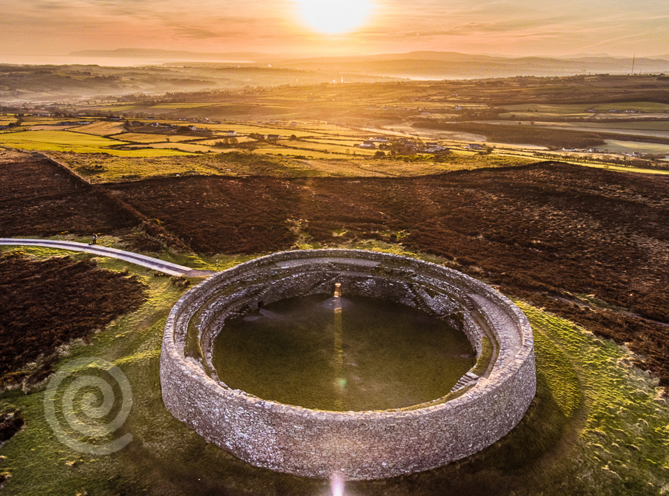 Former Altashane / Cabadooey Fairy FortFairy fort / ringfort · 159 yd
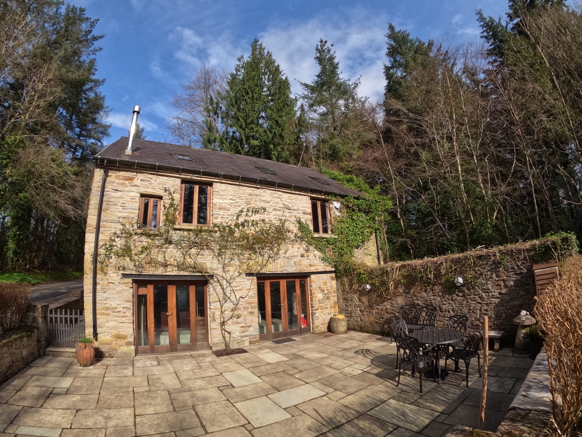 Enclosure in Glasalt OR TreanfasyEnclosure · 1465 yd
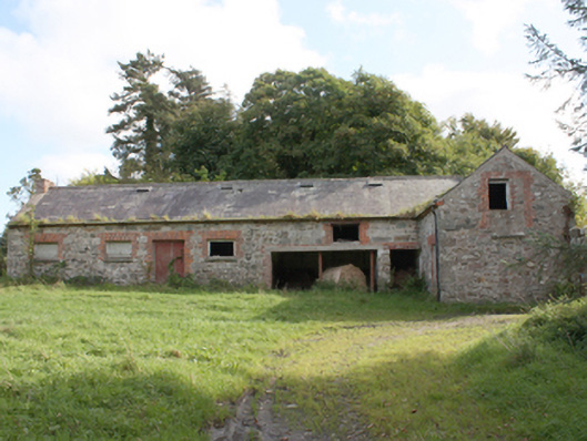 Donagh Church of Ireland Rectoryoutbuilding · 1.4 mi
 railway stationrailway station · 1.5 mi
 Carndonagh Early Church GraveyardGraveyard · 2.3 mi
 Dough Famine VillageHeritage attraction · 3.0 mi
 Doagh Famine VillageMuseum · 3.0 mi
 CastleCastle, unclassified · 3.2 mi
 Five Finger StrandBeach / strand · 3.7 mi
 Lag GraveyardGraveyard · 3.8 mi
 Bawn in CarrickabraghyBawn · 3.9 mi
 Wee Slieve SnaghtMountain / peak · 4.3 mi