What is recorded here
Unlocated excavated togher that was situated on the northern edge of Ballinamona Bog between Garranmaconly and Garryduff. Described by Feehan as 'the causeway lay about 4.5m below the surface it was made of oak beam, abut sixteen feet long, chopped square and laid crosswise side by side close up, and then flagged over' (Feehan 1983, 456).
Compiled by: Caimin O'Brien
Date of upload: 17 December 2007
The monument record does not grant public access. Check the route and ask the landowner before entering private land.
- What survives
- Recorded monument
Places near here
 IndicatedFairy fort / earthen ringfort · 440 yd
 Castle (in Ruins)Castle, tower house · 1050 yd
 Fairy fort / earthen ringfort in GarranmaconlyFairy fort / earthen ringfort · 1145 yd
 Moat of SkirkeCastle, motte and bailey · 1.1 mi
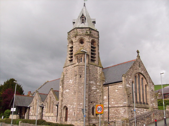 Church (in Ruins)Church · 1.2 mi
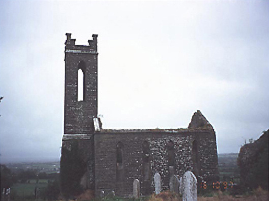 Skirk Churchchurch/chapel · 1.2 mi
 Carricknasrock WoodWood · 2.7 mi
 Black HillMountain / peak · 3.1 mi
 European BeechEuropean Beech · 4.4 mi
 Saint Kieran's WellSpring · 5.2 mi
 Roscrea Petty Sessions HouseHeritage attraction · 6.2 mi
 Millennium GardenMemorial · 6.3 mi