What is recorded here
A single layer (L 2.8m; Wth 2.15m; D 0.1m) of very dispersed roundwoods (diam. 0.12m max.) and brushwood (av. diam. 0.015m). Around the larger wood is a compact mass of tiny twigs. One of the roundwoods has a forked end with the branches removed at the splay. Birch and hazel were identified. Chisel points were recorded on some brushwood while other pieces had torn and cut ends.
Compiled by: Irish Archaeological Wetland Unit, UCD.
Date of upload: 24 August 2010
The monument record does not grant public access. Check the route and ask the landowner before entering private land.
- What survives
- Recorded monument
Places near here
 Kilbegly WellHoly well · 1.2 mi
 Ardcarn IslandsIslet · 1.2 mi
 Kilbegly ChurchChurch · 1.4 mi
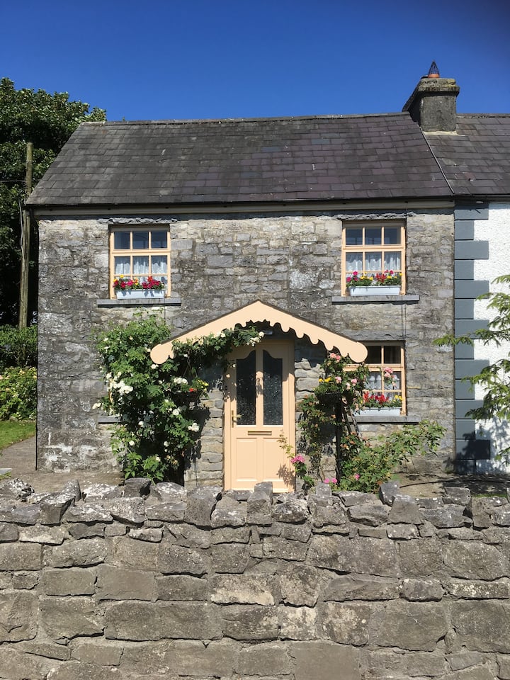 Ardcarn Ho.House, 18th/19th century · 1.4 mi
 Embanked enclosureFairy fort / earthen ringfort · 1.9 mi
 Tonvee CastleCastle, unclassified · 2.9 mi
 Bawn in Townparks (moycarn By. - Ballinasloe)Bawn · 2.9 mi
 Split HillMountain / peak · 3.0 mi
 Sugarloaf HillMountain / peak · 3.9 mi
 Long IslandIsland · 4.6 mi
 West WoodWood · 4.6 mi
 Shannonbridge - Nearby AttractionsVisitor information · 4.8 mi