What is recorded here
Unlocated togher along the boundaries of the upper and lower philipstown baronies (Lucas 1985, 58). These toghers are described in the 1659 Civil Survey description of the barony of Philipstown as 'thence to the end of Togherfadd (next Phillippstowne) [Daingean] mearinge betweene Raffestan [Rathfeston] or Clonad in this barony' (Simington 1968, vol 9, 28). This would place the togher known as 'Togherfadd' in the townlands of Rathfeston, Clonad and Townparks in the barony of Lower Phillipstown. These three townlands are located on the OS 6-inch sheet number 18. A second togher described as 'Toghermcffolly called Aghmore' was located in the vicinity of Ballycommon and Knockballyboy (Simington 1968, vol. 9, 28).
The above description is derived from the published 'Archaeological Inventory of County Offaly' (Dublin: Stationery Office, 1997). In certain instances the entries have been revised and updated in the light of recent research.
Compiled by Caimin O'Brien
Date of upload: 21 June 2010
The monument record does not grant public access. Check the route and ask the landowner before entering private land.
- What survives
- Recorded monument
Places near here
 Settlement desertedSettlement deserted, medieval · 1 yd
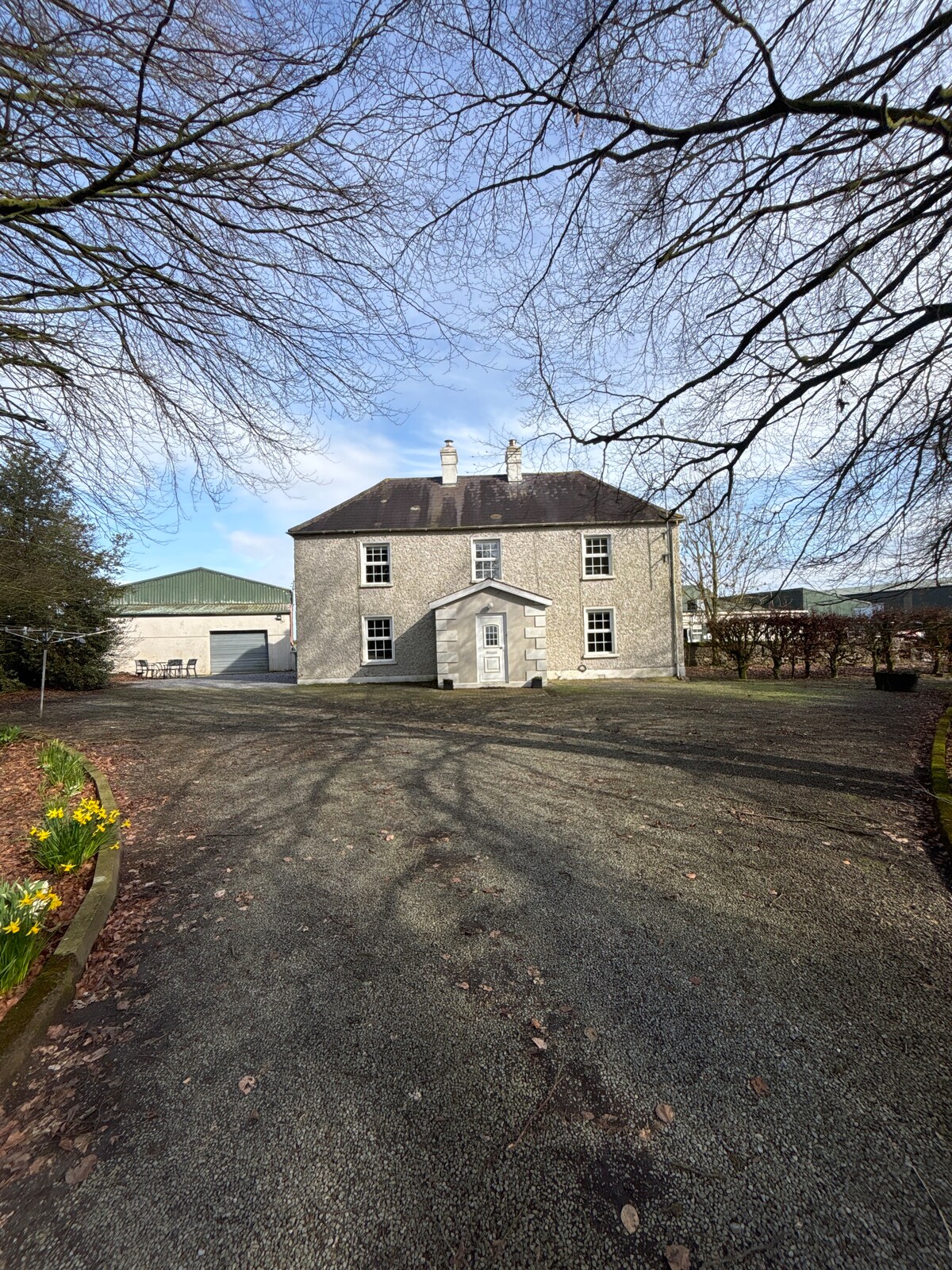 Enclosure in Clonad (phillipstown Lower By.)Enclosure · 1345 yd
 RoadRoad, class 3 togher · 1721 yd
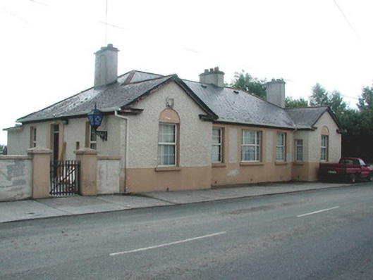 Daingean Garda Síochána Stationgarda station/constabulary barracks · 1.3 mi
 Fort Castle (in Ruins)Bawn · 1.3 mi
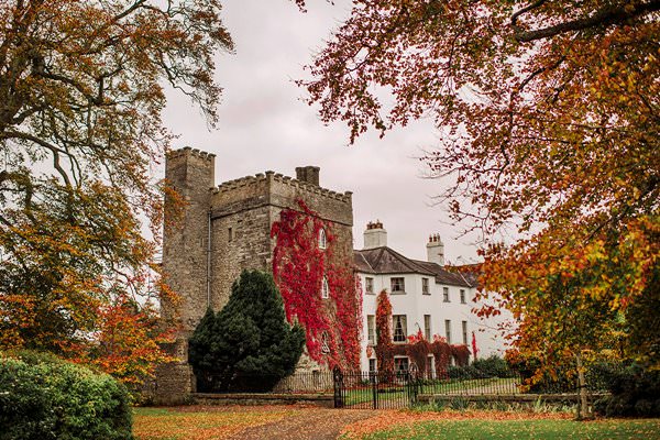 Castle Barnagh (Site of)Bawn · 2.1 mi
 Lady's WellSpring · 2.8 mi
 Children's WellSpring · 2.8 mi
 Father BurbageMemorial · 2.8 mi
 Geashill Glebe WalkVisitor information · 2.9 mi
 Graveyard in BallycommonGraveyard · 3.0 mi
 Furzehill WoodWood · 3.2 mi