What is recorded here
On a gentle W-facing slope to the S of the Dominican priory of Tulsk (RO022-114002-). A fragment of a road (Wth c. 10m; L c. 100m) runs S from the SE angle of the graveyard (RO022-114008-). An aerial photograph (CUCAP: AVH 96) shows the road extending further S (L c. 200m) but curving to the E until it meets the N-S Tulsk - Roscommon road (N 61) (total L c. 450m). This portion does not survive, but the road is continued N towards rath (RO022-114003-) by the road (RO022-114010-) and it is crossed by the E-W relict road (RO022-113004-) just S of the graveyard.
Compiled by: Michael Moore
Date of upload: 24 August 2010
The monument record does not grant public access. Check the route and ask the landowner before entering private land.
- What survives
- Recorded monument
Places near here
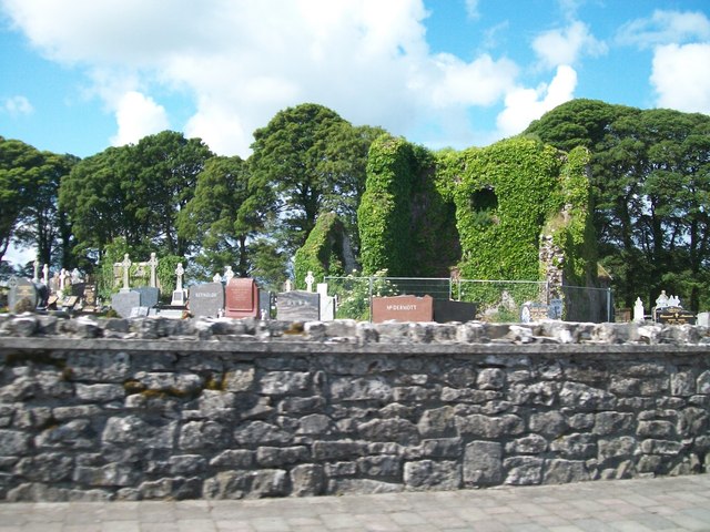 Grave YardGraveyard · 131 yd
 AbbeyReligious house, Dominican friars · 192 yd
 Cruachan Aí Heritage CentreMuseum · 260 yd
 IndicatedFairy fort / earthen ringfort · 307 yd
 CastleCastle, unclassified · 357 yd
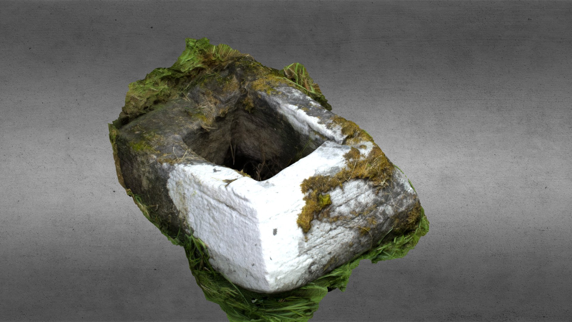 Church in OgullaChurch · 1534 yd
 ToberagullaSpring · 1606 yd
 European ashEuropean ash · 1613 yd
 CastlerubyCastle, unclassified · 2.7 mi
 War of Independence Commemorative Military MemorialMemorial · 4.5 mi
 Sweet ChestnutSweet Chestnut · 6.2 mi
 Silver IslandIslet · 8.7 mi