What is recorded here
'There are some broken and indistiinct vestiges of ancient fortifications on the west and south sides of the village of Rathnew and the peasantry point out several spots formerly occupied by what they call Danish forts, as also the Danes' road; which, however, is now broken up and cultivated.' (OS Letters, 243). The remains of this road have not been located (SMR file).
Date of upload: 22 October 2012
The monument record does not grant public access. Check the route and ask the landowner before entering private land.
- What survives
- Recorded monument
Places near here
 Font in UnknownFont · 1 yd
 Enclosure in TinakellyEnclosure · 230 yd
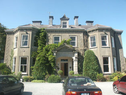 Tinakelly Housecountry house · 378 yd
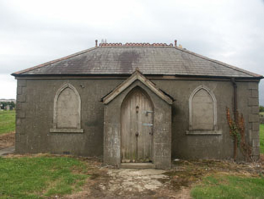 Rathnew and Wicklow Cemeterybuilding misc · 706 yd
 Sessile OakSessile Oak · 1721 yd
 European YewEuropean Yew · 1.1 mi
 CastleCastle, unclassified · 1.3 mi
 Round MountCastle, motte · 1.4 mi
 Glen Beach Cliff WalkWalking route · 3.0 mi
 Silver StrandBeach / strand · 3.9 mi
 Carrick MountainMountain / peak · 4.0 mi
 Kilpoole BeachBeach / strand · 4.3 mi