What is recorded here
Visible on a 1970 aerial photograph (CUCAP BDR 31) as the cropmark of a possible trackway defined by two parallel fosses (est. L. c. 200m ESE-WNW) running through an enclosure (KD005-010----) and possibly post-dating it, and also possibly associated with a small enclosure (KD005-010----) to the N and a field-system (KD005-012----) immediately to the S. By 1985 the site had been overlain by earthen landscaping mounds (SMR file). Area is visible on a recent aerial photograph (OSi Orthophoto 2005) and is built upon with modern housing.
Compiled by: Gearóid Conroy
Date of upload: 10 June 2011
The monument record does not grant public access. Check the route and ask the landowner before entering private land.
- What survives
- Recorded monument
Places near here
 Enclosure in MaynoothEnclosure · 2 yd
 Oscoil Na hÉirean Má NuadMemorial · 142 yd
 NUI MaynoothMemorial · 170 yd
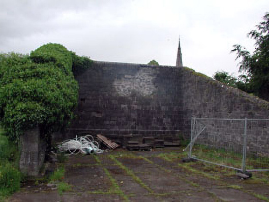 Saint Patrick's Collegehandball alley · 319 yd
 Library GardenHeritage attraction · 336 yd
 Library CatHeritage attraction · 392 yd
 Ecclesiastical enclosure in Laraghbryan EastEcclesiastical enclosure · 586 yd
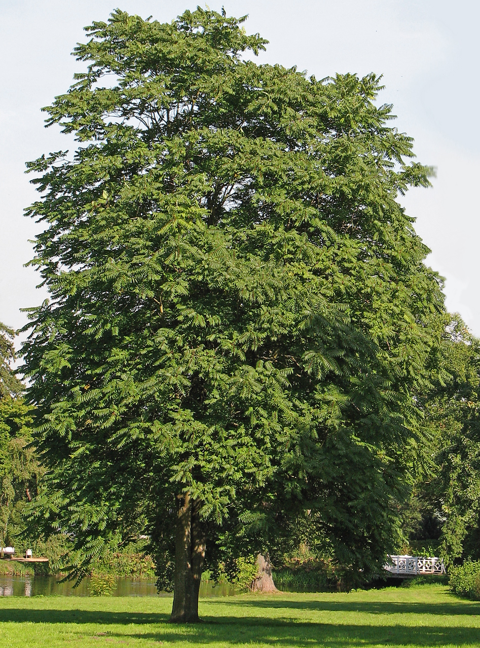 Tree of HeavenTree of Heaven · 633 yd
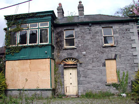 Manor Millshouse · 664 yd
 European YewEuropean Yew · 666 yd
 CastleCastle, unclassified · 782 yd
 Saint MaryMemorial · 298 yd