What is recorded here
Situated in the N-S valley of the meandering Tolka River, with the original stream c. 50m to the W. Archaeological centre-line testing (04E0489) by R. O’Hara prior to the construction of the M3 motorway identified a cobbled surface (excavations.ie: 2004:1191) that was further excavated (E003030) by L. Clarke (excavations.ie 2005:AD12) as Loughsallagh 1. The road surface, consisting of cobbles set in a compact grey/brown stoney layer (Wth 10m plus; T 0.3m), extended NNE-SSW beyond the excavation limits at N and S, and its E edge was not exposed. It was accompanied by a drain (Wth of top 2.1m; D 0.48m) filled with grey brown silty clays on its W side. A thin dark brown silty clay layer (max. T 0.22m) separated this surface from an earlier metaled surface (Wth 5.5m; max. T 0.15m) that had a drain (Wth of top 1.9m; D 0.48m) filled with brown/grey silty clay on the W side. Some metal fragments were recovered but none are diagnostic. Although the road is not precisely represented at this point on the 1836 edition of the OS 6-inch map both road surfaces are post-medieval in date and are earlier iterations of the ‘old’ road from Dublin to Dunshaughlin (R147). (Clarke 2008)
Compiled by: Michael Moore
Date of upload: 4 November 2021
The monument record does not grant public access. Check the route and ask the landowner before entering private land.
- What survives
- Recorded monument
Places near here
 Enclosure in LoughsallaghEnclosure · 170 yd
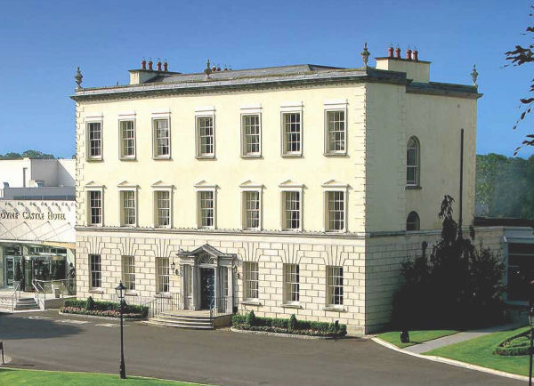 Enclosure in DunboyneEnclosure · 550 yd
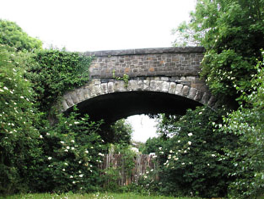 bridgebridge · 777 yd
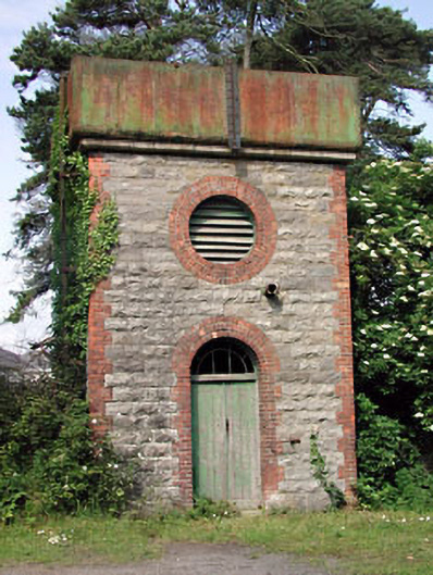 Dunboyne Railway Stationwater tower · 789 yd
 CastleCastle, ringwork · 1632 yd
 TyrrelstownWood · 2.5 mi
 Church, GraveyardChurch · 2.8 mi
 Graveyard in BuzzardstownGraveyard · 2.8 mi
 Wesley's WoodsWood · 2.8 mi
 Blanchardstown Centre information deskVisitor information · 3.3 mi
 Luttrellstown CastleCastle · 3.3 mi
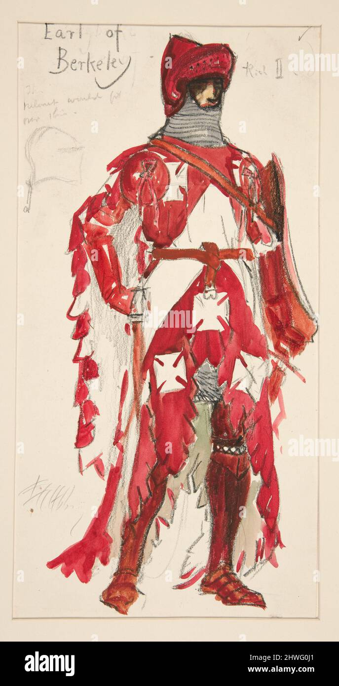 Berkeley Costume and Toy CollectionMuseum · 5.7 mi