What is recorded here
In undulating pasture, on the NW-facing slope of a ridge. The remains of a sunken flat-bottomed linear road (L 81.6m NW-SE; Wth 6.5m; D c. 0.8m) are visible in the SW corner of a field. An aerial photograph (IASAP, 3043088-9) shows faint traces of the road continuing into the field to NW. This is possibly the remains of a mass-path which is known to have existed in this area (pers. comm. M. A. Timoney). The remains of the late medieval Kilross church and graveyard (SL021-056001-; SL021-056002-) are c. 100m to the N.
The above description is derived from the published 'Archaeological Inventory of County Sligo' compiled by Ursula Egan, Elizabeth Byrne, Mary Sleeman with Sheila Ronan and Connie Murphy (Dublin Stationery Office, 2005).
Date of upload: 18 January 2008
The monument record does not grant public access. Check the route and ask the landowner before entering private land.
- What survives
- Recorded monument
Places near here
 Giants GraveArchaeological place · 81 yd
 Grave Yd.Graveyard · 129 yd
 Cross in KilrossCross · 197 yd
 CastleCastle, motte · 658 yd
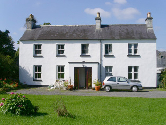 Arnasbrack Househouse · 1132 yd
 Castle (in Ruins)Castle, tower house · 1134 yd
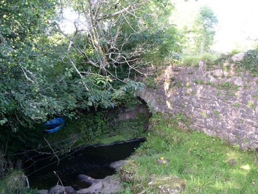 Lurgan Bridgebridge · 1328 yd
 Field MapleField Maple · 2.2 mi
 European ashEuropean ash · 2.5 mi
 Slishwood Island WestIslet · 3.2 mi
 Bunowen BayBay · 3.2 mi
 Battle of Collooneybattle · 3.2 mi