What is recorded here
The following description is derived from the published 'Archaeological Inventory of County Carlow' (Dublin: Stationery Office, 1993). In certain instances the entries have been revised and updated in the light of recent research.
Date of upload/revision: 1 September 2010
Aerial photographs (CUCAP AYL 13, 14, 15) show cropmark of two parallel fosses, indicating trackway running ENE-WSW (L c. 60m). A section of this was test excavated and exposed it as two parallel ditches seperated by a 5m gap. The excavator suggested that it is probably a laneway which ran to the quarry (CW016-040002-) and dates to the post medieval period (McLoughlin C. 2006, 10)
The monument record does not grant public access. Check the route and ask the landowner before entering private land.
- What survives
- Recorded monument
Places near here
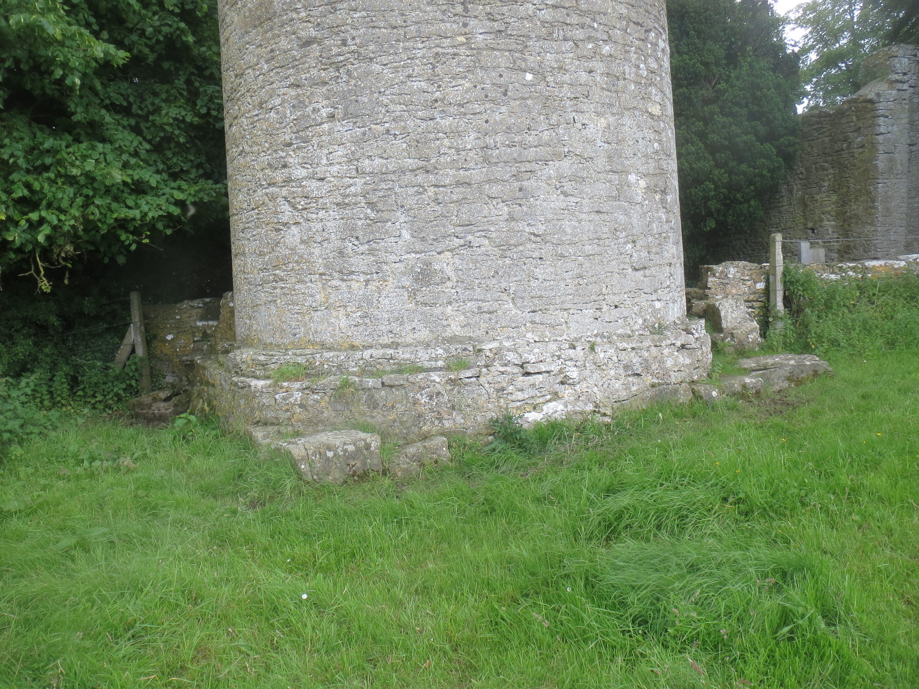 Enclosure in KilreeEnclosure · 102 yd
 Enclosure in MoneybegEnclosure · 481 yd
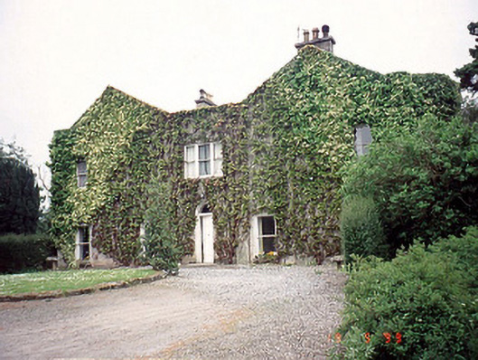 Eastwoodhouse · 915 yd
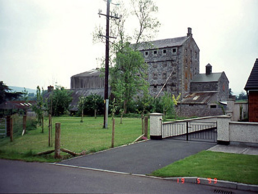 Lodge Millsmill (water) · 1182 yd
 Lock Keeper's House and Lodge MillsVisitor information · 1209 yd
 Church (in ruins), GraveyardChurch · 1415 yd
 The Columban WayVisitor information · 1601 yd
 Wych ElmWych Elm · 1.6 mi
 Sweet ChestnutSweet Chestnut · 1.9 mi
 Dunleckny Ho.Castle, unclassified · 1.9 mi
 CastleCastle, motte · 2.0 mi
 Church, GraveyardChurch · 2.7 mi